
Last week, Onondaga County Democrats and Republicans each released their own proposals for new County Legislative districts. Both parties recommended big changes to the current map, but they disagreed on several major details. These disagreements show that we need to slow this process down and apply New York State’s newly enacted non-partisan standards to achieve a fair outcome.
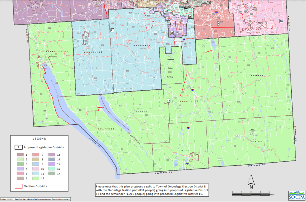
the Democrats’ proposal 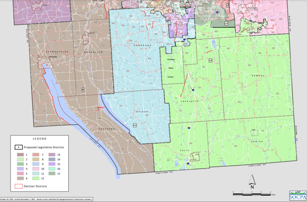
the Republicans’ proposal
Take the dispute over the district encompassing the rural southeastern portion of the County. The Democrats’ map groups the southeastern towns of Lafayette, Fabius, Pompey, and Tully with the southwestern towns of Skaneateles, Otisco, and Spafford. But David Knapp, Chairman of the County Legislature, insists that this would “disenfranchise rural voters” because “the needs of someone in the lakeside community of Skaneateles are not the same as those of a resident in agrarian Lafayette.” Instead, the Republicans grouped those southeastern towns (Lafayette, Fabius, Pompey, and Tully) with small portions of DeWitt, Onondaga, and Manlius.
But it’s not exactly clear what that fixes. The needs of the suburban residents of the Village of Manlius aren’t obviously closely aligned with Apple Valley either. The point seems to be that the southeastern towns should have their own district, and if that means padding their small population with densely settled slivers of the Towns of Manlius, DeWitt, and Onondaga, then so be it. Nevermind that this also ‘disenfranchises’ the people living in those communities, to use Mr. Knapp’s definition of the word.

the Democrats’ proposal 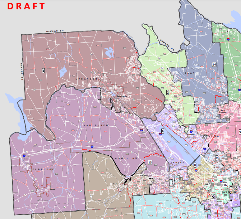
the Republicans’ proposal
Or look at the disagreement about how to draw districts in the growing northwestern towns of Lysander, Clay, Camillus, and Van Buren. The Democrats’ map covers those towns with five legislative districts, but Kevin Hulslander, the Republican Chair of the Reapportionment Commission, claims that underestimates the rate at which those towns will grow over the next decade: “We’re establishing seven districts in the towns where the growth is to accommodate for the growth. Map number one [the Democrats’ proposal] includes only five districts. So, at the very core of what our job is here, map number one fails.”
But again, this is not an obvious solution. Demographic trends in Onondaga County are in such flux that it’s very difficult to predict exactly which towns will grow (or shrink!) over the next ten years. The census bureau predicted that the City would lose population between 2010 and 2020, and they were wrong. Cicero had—for decades—been the county’s fastest growing town, but it’s not anymore. If the Census Bureau cannot accurately predict which parts of Onondaga County will grow and how, then it’s very doubtful Mr. Hulslander can either.
Of course, decisions about who deserves representation—Lafayette or Manlius—and which parts of the County are most likely to grow—Van Buren or Syracuse—have partisan implications. The City and several inner ring suburbs are home to more registered Democrats than Republicans, and the opposite is true in the exurbs and rural parts of the county.
What Onondaga County needs are non-partisan guidelines that can ensure a fair process for drawing these legislative districts. Luckily, New York State has provided just that. New legislation directs all counties to draw districts according to existing population figures—not anticipated ones. The new legislation also says that legislative district lines should follow pre existing, broadly understood, meaningful boundaries such as town lines or school district catchments rather than trying to group people based on any individual politician’s idea of which communities are more deserving of representation.
Onondaga County’s Reapportionment Commission and Legislature should take the time to properly review this new law before deciding on any redistricting proposal. We need a fair and transparent process. There’s no rush. Let’s get this right.
