By Zach Zeliff
In planning/housing discourse, a lot of attention is given to so-called “missing middle” development. The take runs roughly like this: lots of developers build detached single family homes, and then there are fewer but still numerous developers build larger multifamily buildings, but very few developers build anything in between. Over the last 70 years or so, there has been less building of “middle” housing of small apartment buildings including two to maybe 8 units. Compared to single family homes, these missing middle buildings offer more affordability because they can be built at a lower per unit cost. They can also be built on relatively small lots where larger multifamily homes would never fit and so allow the kind of finely-grained infill that matches conditions on the ground in so many of our community’s neighborhoods. Syracuse should be looking for ways to encourage the construction of more of these types of homes.
Luckily, other cities have paved the way with zoning reforms designed to produce this type of housing.
The best reforms tackle the problem directly. Take Spokane, Washington for example. Spokane allows building types of up to 6 units on any typical lot in their city. This has led to a huge spike in units permitted in their city—which as we wrote before puts downward pressure on rent prices. One architecture firm has even started using Spokane 6 as a branding term for a type of housing that includes six homes in a 3-story building that can fit on small city lots (locally, you can find this building type in neighborhoods like Eastwood). By making requirements simple and easy to navigate, builders can get quite good at producing this type of housing—repeating the formula and gaining scale, which can lead to decreased construction costs.
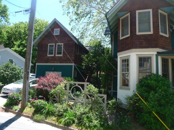
Like in Spokane, missing middle housing was more prevalent in Syracuse until relatively restrictive zoning typologies were instituted in the second half of the 20th century. You’ll still see lots of duplexes and triplexes, and even some rowhomes and six-plexes in various Syracuse neighborhoods, but very few of these types of homes have been built recently.
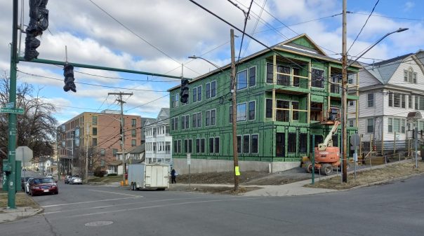
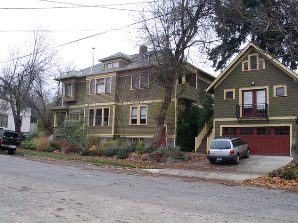
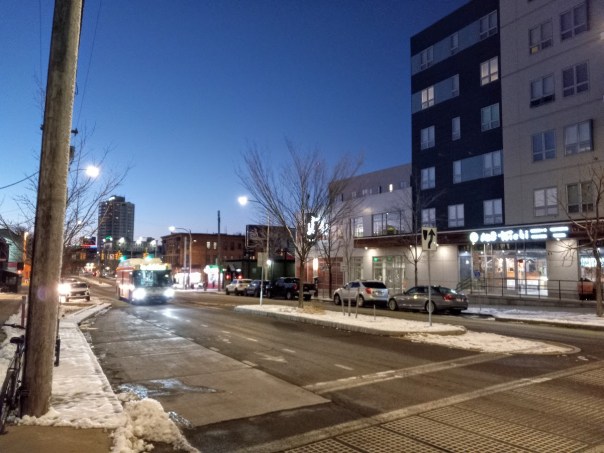
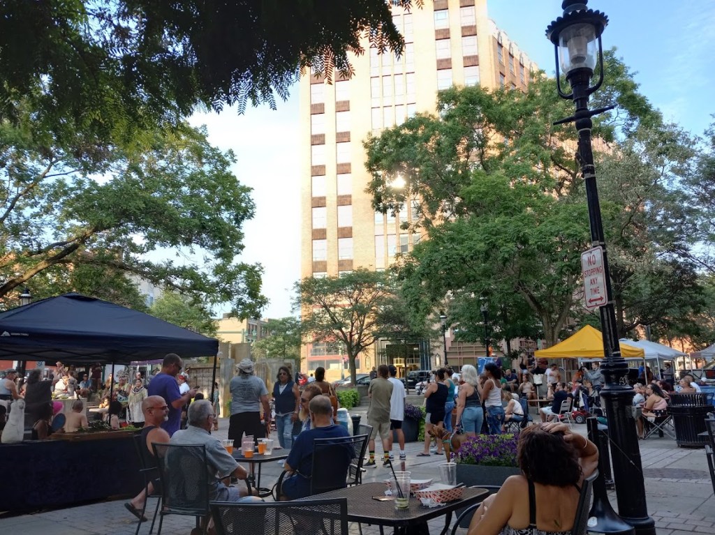
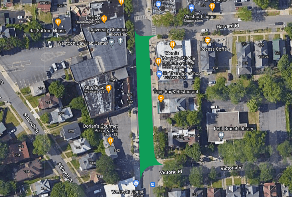
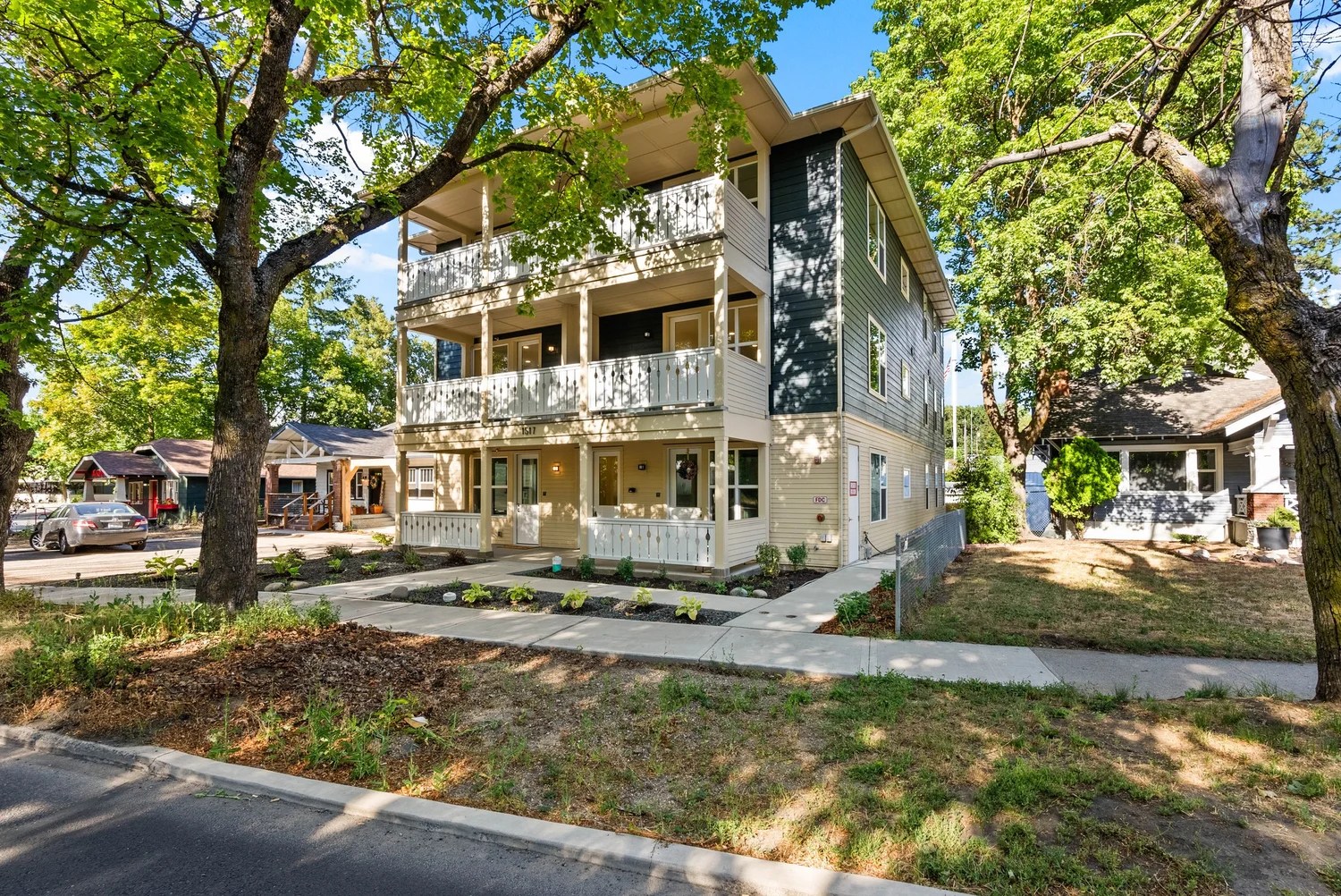
A short section of Walnut Ave shows that this kind of housing can still be built in Syracuse where the zoning allows it. Over the last few years, a single developer has built seven small apartment buildings on the 500 and 600 blocks of Walnut Avenue. Not only do these new buildings add much needed housing at familiar scale, they’re also made up of 5 and 6-bedroom apartments that can fit large families—a needed complement to the proliferation of studios and 1-bedrooms being built for households without children.
However, this housing can only be built in a select few neighborhoods like University Hill where R-5 zoning allows multifamily housing. In contrast, the vast majority of Syracuse neighborhoods only allow up to two-units per lot. Through their location and marketing, these buildings are clearly designed with student tenants in mind, but in our opinion this is the exact type of incremental density we should be adding to every neighborhood—why limit it to students?
The proposition is simple—by changing zoning to allow this type of missing middle housing to be built on every residential lot, you allow developers to get good at building them, and then work at building them at scale to drive down the cost per unit. This type of development is also ideal for local/smaller developers, who can get the access to capital and labor needed to build this type of housing when compared to large apartment buildings.

Other municipalities are producing an interesting way of getting new housing online: the pre-approved catalogue. Vermont, the Cape Cod Commission, and Cincinnati are three of the municipalities engaging in this. These pre-approved plans are ways to enhance the aesthetics of design while making the permit processing easier—something we pointed out is quite difficult in Syracuse in the ADU article.
By pre-approving different types of housing, and allowing wide land use allowances in the city, we could be making it much easier and predictable for housing producers to build. This is a win win in many ways – for our tax base, for maximizing existing infrastructure, for promoting neighborhood walkability, and most of all for housing cost.