
I used to catch the 58 bus at Burnet and Teall. In my head, this was the Burnet Ave bus—Burnet’s a big street, it’s one of the few that stretches from Downtown all the way out to the city line, and the 58 does run straight along its eastern half from Beech Street to Thompson Road. But it’s really not right to call the 58 the “Burnet Ave line” because west of Beech, the bus zigs and zags along a bunch of different Northside streets before making its way Downtown.

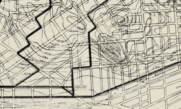
I had to memorize all those zigs and zags—they were the only part of the line that didn’t make intuitive sense to me—and I recognized them immediately when I saw this 1917 map of Syracuse’s streetcar system.
Back then, the streetcar line to Eastwood didn’t run straight out James Street. Between State and Sedgwick Streets, it detoured along Hawley, Lodi, Oak, Hawley again, and Elm. That was partially to avoid the big hill on James—streetcars couldn’t handle it with their slippery steel wheels—and partially because that section of James Street was populated by gilded-age robber barons who didn’t ride the trolley.
None of that matters anymore—buses can handle hills, and huge apartment buildings replaced the mansions, making lower James Street one of the heaviest transit corridors in the entire City—so now all the Eastwood buses run James Street’s entire length.
But at the same time, the very fact that a streetcar used to run along Hawley, Oak, Lodi, and Elm means that there’s a lot of housing in that part of the Northside. It’s a far walk from there to Downtown, so the people who moved to that neighborhood 100 years ago clustered along the streetcar line. That housing still exists, people still live in it, many of them chose to live in it because of the existing bus line, and that makes the neighborhood a good place to run a bus.


Look at the rest of Centro’s system map, and you can find similar patterns. The 52’s jagged path up Salina, James, Townsend, Butternut, and Park echoes another long gone Northside streetcar line. The 64 and 74 are almost perfect images of old Westside lines. The South Ave bus’ periodic detours along Bellevue are a vestige of the line that ran out to Strathmore. The streetcar companies often laid those lines for reasons that don’t matter anymore—to avoid hills, to use existing track, to compete with rival transit companies. But the very fact that streetcars did run along those lines has built enough inertia to keep Centro’s buses running along the same streets.
So when the 58 bus took that weird detour, it was bringing me into a complex relationship with the City’s past. That’s not where I had intended to go when I paid the fare, but I can appreciate the journey.
