
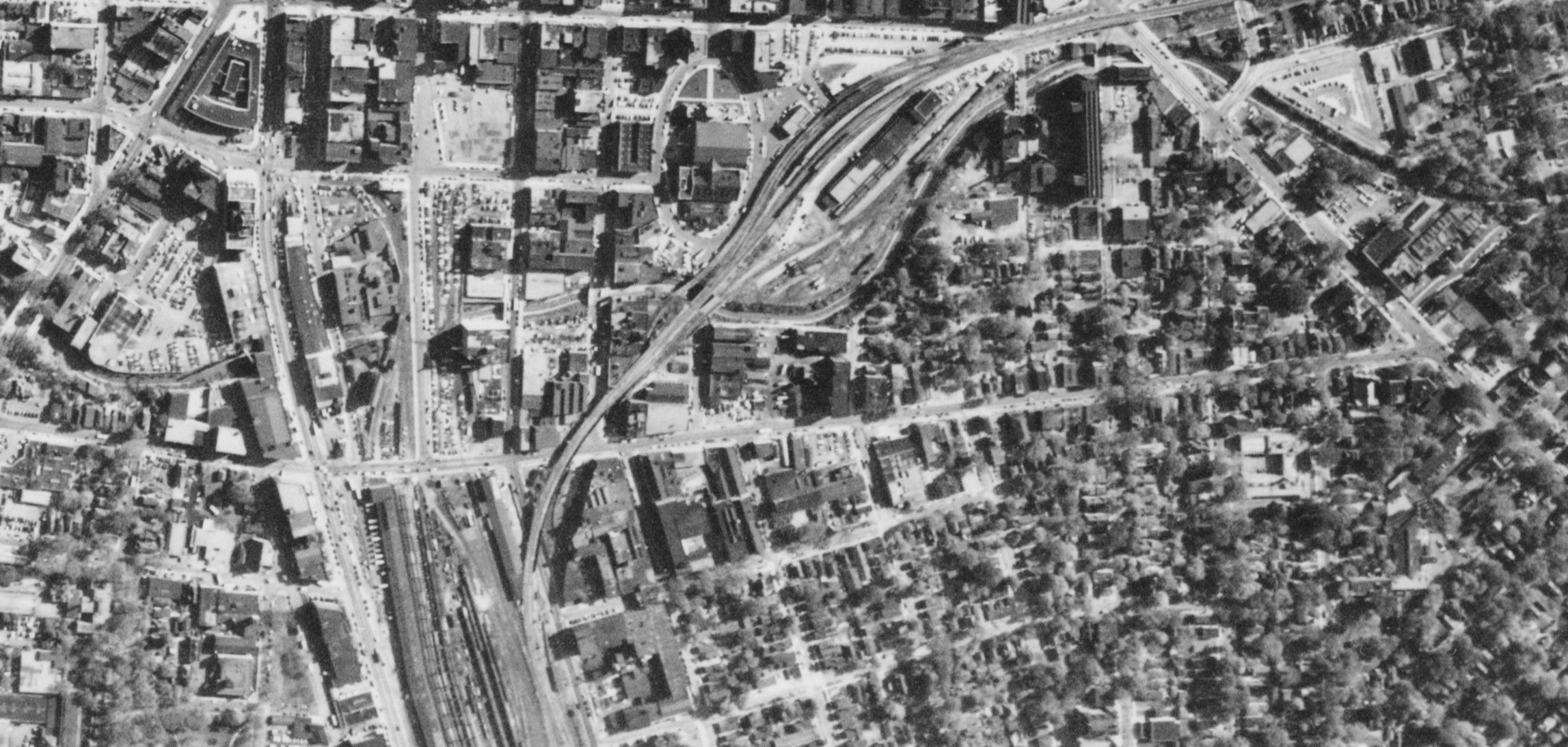
The I81 viaduct is part of the interstate highway system, but it’s also one piece of a high-speed traffic loop that encircles Downtown. Once it’s torn down, that loop won’t function the way that it’s supposed to, and that will give Syracuse a fantastic opportunity to reclaim West, Harrison, and Adams Streets as local streets rather than surface-level highways.

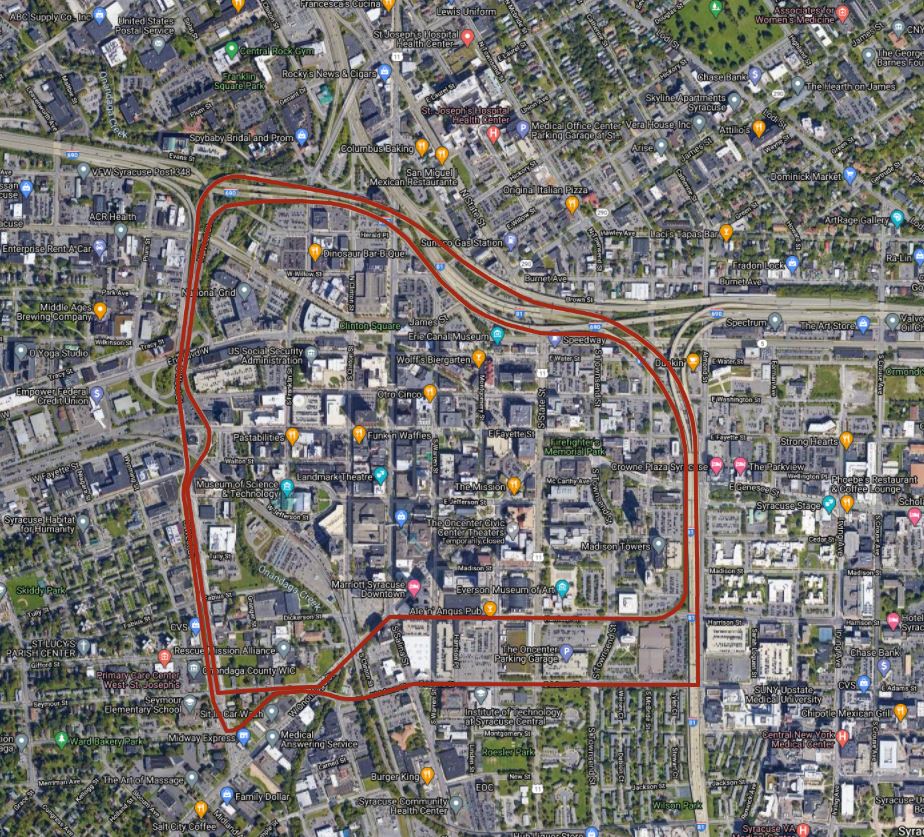
Early plans for Syracuse’s interstates included connecting highways on Townsend, West, and Adams Streets. These would have formed an Inner Loop like the one that Rochester is currently removing.
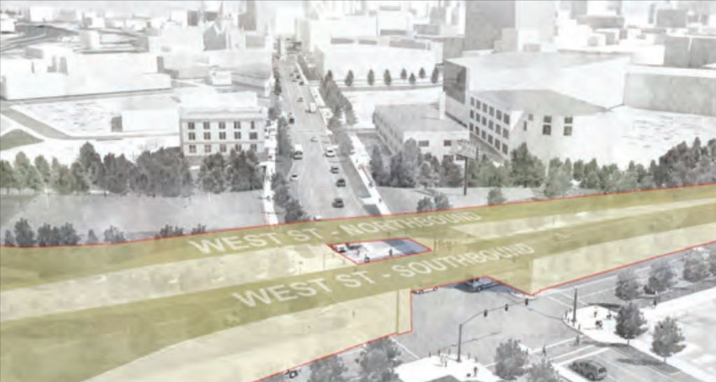
Syracuse never managed to build that full loop, but it came close. Coming off 690, West St feels one hell of a lot like an interstate until you hit the traffic light at Fayette. No buildings front the new curvaceous block of Shonnard Street that Connect West to Adams. Harrison and Adams are significantly wider than any city street should be—more than twice as wide as 81 in places—and people speed up and down them like they are highways.

The thing is, this quasi-loop won’t make much sense after the viaduct’s gone. Harrison and Adams are 4 lanes wide because they handle all of the car traffic going to-and-from 81’s main Downtown exit. Pretty soon, that exit won’t exist, and those streets won’t get nearly enough traffic to justify their width. And if Harrison and Adams aren’t going to feed the interstate anymore, then it doesn’t make very much sense for West Street to feed them either, so it doesn’t need to be 6 lanes wide.
NYSDOT and City Hall both understand this, which is why the DEIS included some big changes to West, Harrison, and Adams Streets. The biggest is that they’re getting rid of the West Street onramps to 690. That will slow traffic on both West and W Genesee, and it will free up space for an extension of the Creekwalk. They’re also going to convert Harrison and Adams from one-way race tracks into two-way streets—an adjustment that will encourage car traffic to obey the speed limit and make those streets safer for people on foot and on bike.
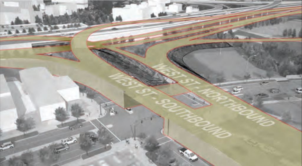
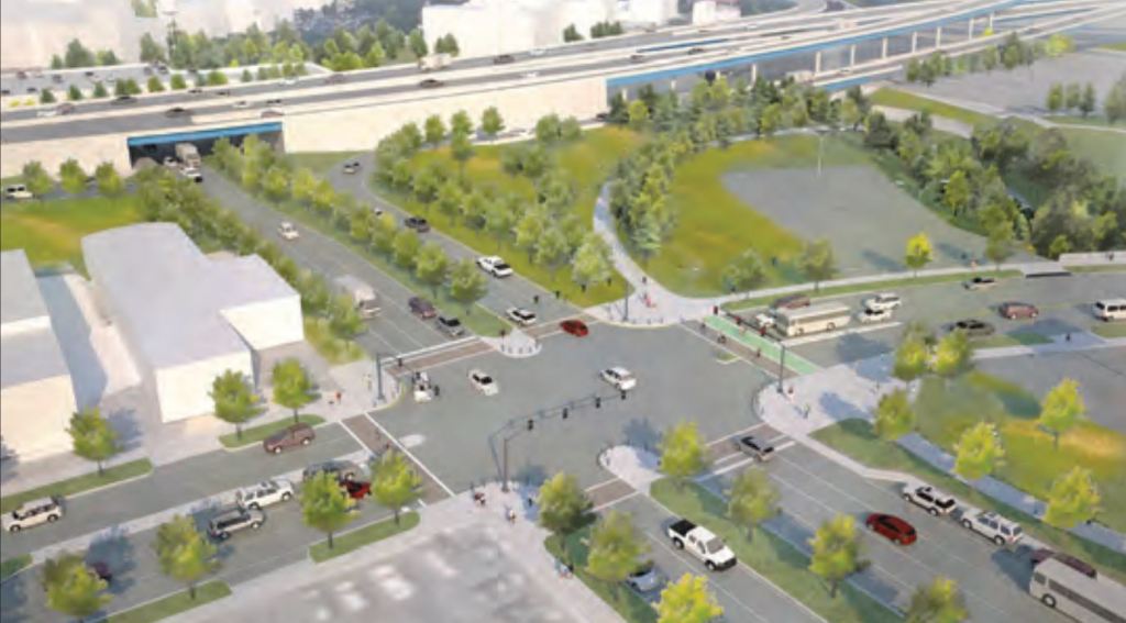
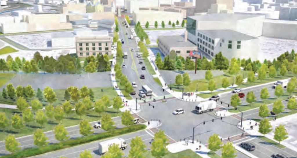
But they should go even further than that. If those streets aren’t going to feed the highways anymore, then there are plenty of other highway-like features that should also go away. West Street doesn’t need its full cloverleaf interchange with Erie Boulevard—one connecting ramp in each direction is plenty for low-speed traffic. West Street also doesn’t need to be a divided highway south of Fayette—it can go back to being a 2-lane street without any problem, and Marcellus, Jefferson, and Tully Streets can all get signalized crosswalks where they intersect.
Harrison and Adams should both be 2-way streets and they should be a lot narrower. And although they won’t lead to a highway onramp anymore, they will still lead to Centro’s Hub, so some of that extra space should go to bus lanes.
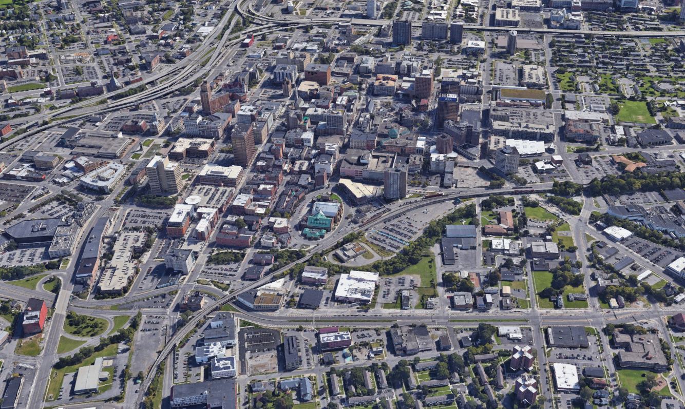

The highway-ization of Syracuse’s local streets has been a disaster for the City. West, Harrison, and Adams Streets all used to be thriving business districts that linked their neighborhoods to Downtown. Now all are asphalt moonscapes that no one wants to cross. Getting rid of the viaduct will change Syracuse’s street grid in a way that will allow the City to take those streets back, to make them function the way that they used to—connecting the City’s neighborhoods instead of dividing them.
