
The hardest part about riding a bike in Syracuse is figuring out the best route to get somewhere new. The City’s hilly topography and terrible post-war city planning have combined to create very few safe flat routes across town, and so an unplanned bike trip is likely as not to put you in danger or wear you out.
City Hall, the County, and the State have done some good work to fix this problem on certain routes, and it’s not too hard to imagine how they could easily do more, but too many pieces of “bike infrastructure” in this town fail to actually improve safety, and what’s left isn’t enough to get you everywhere you need to go.
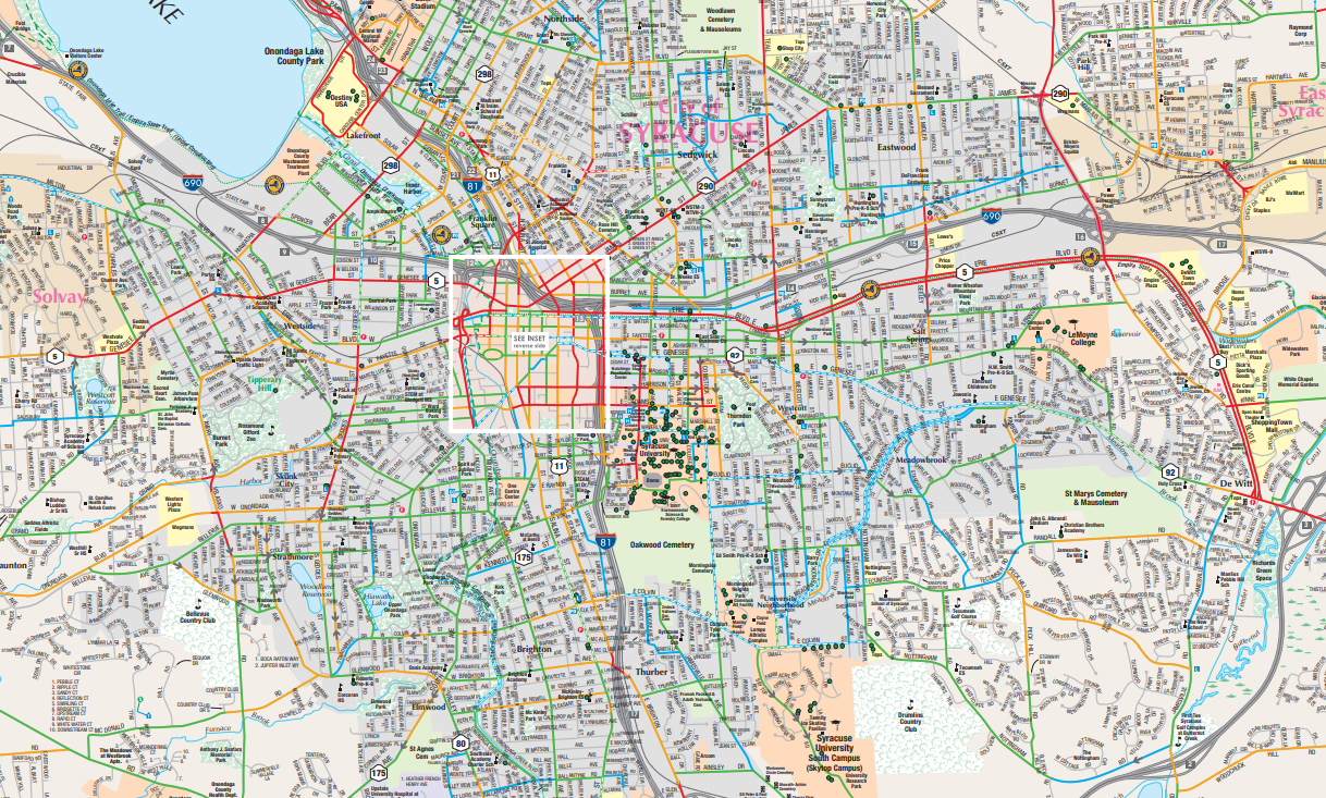
The Syracuse Metropolitan Transportation Council’s Bike Suitability Map tries to help with route planning by rating a large number of streets according to their “suitability” for biking, but the map has its own problems. First, the ratings do not match the lived experience of riding a bike. For example, Westcott Street gets a higher rating between Broad and Beech than it does between Beech and Dell. This may be due to the lower overall traffic volumes on Westcott’s southern end, but anybody who has ever biked the street knows that cars crawl safely through the business district but speed like maniacs south of it.
Second, the map doesn’t really account for hills. It shows where streets go up extremely steep hills, but it doesn’t account for that slope in its ratings and it ignores most of the hills in the City. The 50’ hill on Willow Street between Lodi and Highland, for instance, doesn’t show up. Neither does the 40’ hill on Bellevue Avenue between Summit and Clairmonte.
Third, the map limits itself to public streets and therefore misses many of the cut-throughs that connect many of the best biking paths across Syracuse. There’s nothing about how to get across SU’s campus, through Clary Middle School’s parking lot, or over the gravel path that connects Carbon Street to the Farmers Market.
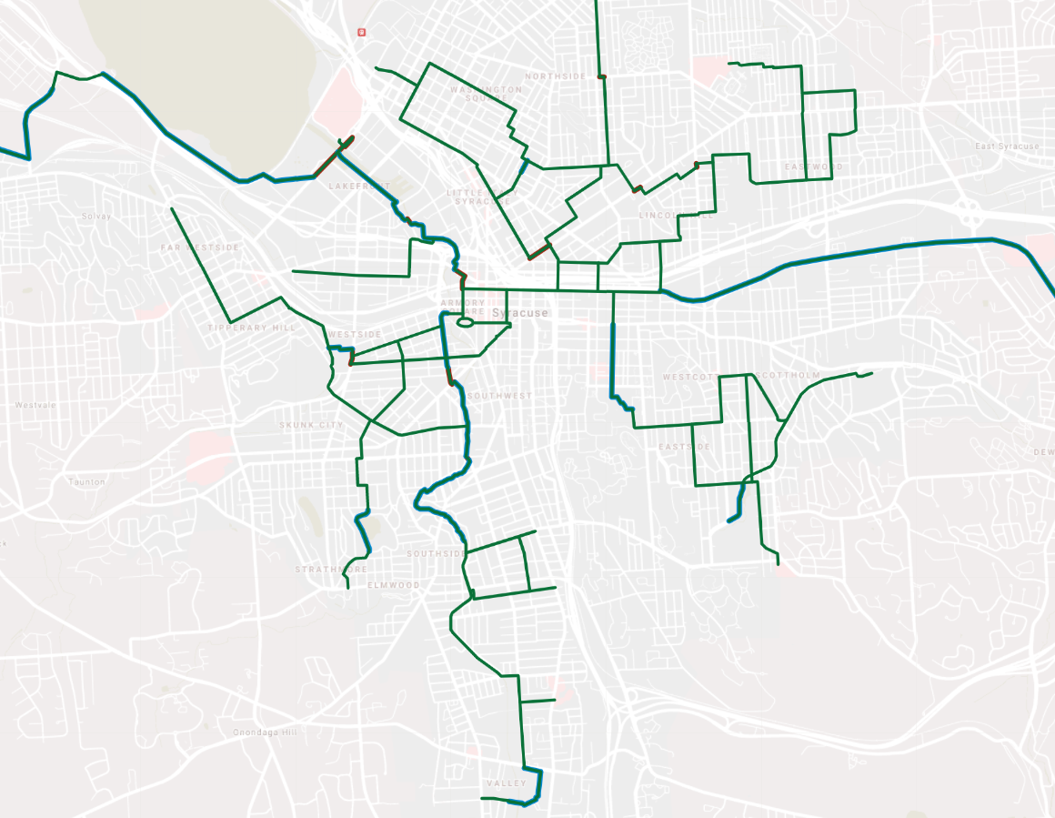
So here’s a map of the bike routes that people would really use to get across the City. The green lines show the shortest, flattest, safest routes between many points in Syracuse. These routes avoid streets with dangerous traffic, and where they cross those streets, there is often a 4-way stop or a traffic light. They are good routes for someone who is trying to get around town on a bike for the first time.
In places, these routes jump onto the sidewalk to avoid heavy traffic—like on James Street between Catherine and Townsend. Where that happens, the path is outlined in red.
The blue highlights indicate where a route is fully separated from regular traffic. This includes both intentional bike infrastructure like the Canalway Trail on Erie Boulevard and also unintentional infrastructure like Fowler’s parking lot connecting Marcellus and Magnolia Streets.
I’m more familiar with some areas of the City than others, and the map definitely reflects those gaps in my knowledge. If you know of a really nice easy route that’s not on the map, please tell me about it! The map is on google drive and I will keep updating it.
