
Onondaga County’s extensive freight rail network—and particularly the elevated viaduct running through Downtown—has long inspired dreams of rail-based rapid transit in Syracuse. It seems like we’re this close to having big-city transit without the hassle of having to lay any new track or building much infrastructure. Just run passenger trains on the rails that are already there, and Syracuse would have its own version of Chicago’s El.
OnTrack showed that the reality is more complicated. You can’t just put a passenger train on any preexisting tracks and expect quality transit. The service—when, where, and how fast it runs—actually has to be useful if people are going to use it. OnTrack’s service was very bad and few people used it, in part, because of insufficient infrastructure. Any serious proposal for rail transit in Syracuse has to fix the infrastructure problems that doomed OnTrack.

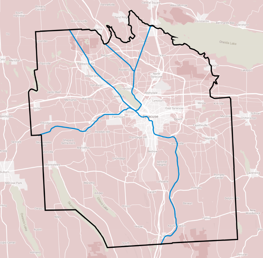
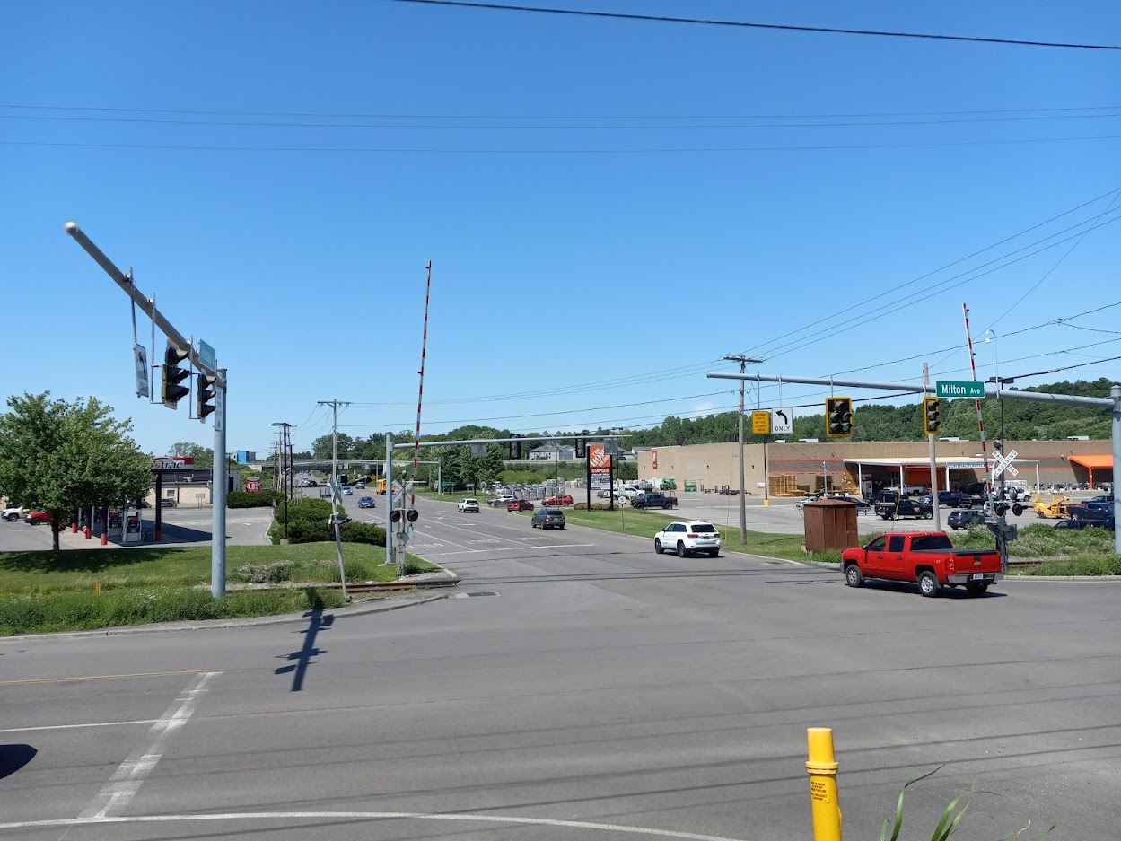
To see what it would take to make rail work, look at the western corridor from Camillus through Solvay to Syracuse. The 2014 Syracuse Transit System Analysis identified this as a ‘transit improvement corridor’ because of existing transit ridership, population and employment density, and potential for new development. The 36 and 74 buses already serve the corridor—on West Genesee Street and Milton Avenue, respectively—and are among Centro’s best-performing suburban bus lines. In fact, these buses trace the same lines as two of Syracuse’s streetcar routes. The Near Westside, Tipp Hill, Solvay, Fairmount, and Old Camillus are all original transit-oriented development.
And luckily, an existing freight rail line stretches the entire length of this corridor. The Finger Lakes Railway operates from the Village of Camillus to Solvay, and the New York, Susquehanna & Western runs from Solvay through Downtown to University Hill.
But if we just replaced buses on Milton Ave with passenger trains on this rail line as it exists right now, it would be a huge downgrade in transit service. The right-of-way needs major improvements to offer truly transformational transit service.

DOUBLE TRACK
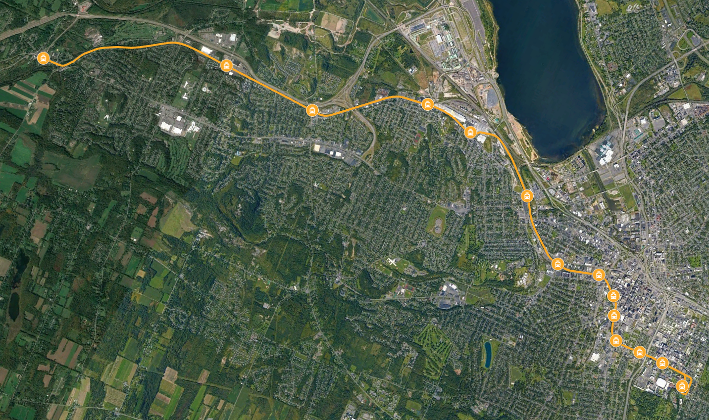
The existing rail line is only single tracked for most of its length. That means trains can’t run in opposite directions, and it presents two serious problems.
First, it limits service frequency to what a single train can provide running nonstop. For this 11 mile-long corridor, that means the train would serve each stop about once every 40 minutes—not the kind of service that would allow a person living in Camillus to get by without a car.
Second, a single-track would make it impossible for trains operating on other corridors (north to Baldwinsville or Liverpool, maybe) to share the City Center tracks with this line. Limiting the network to just a single line makes it much less useful because it limits who can access the system and where they can go. The most useful rail network would allow riders to connect with multiple lines so they can travel all across the county.
So in order to improve service frequency and expand the rail network, the right-of-way needs an additional second track.


SHIFT THE RIGHT-OF-WAY
Although the rail line follows Milton Avenue’s general path, it misses several important destinations currently served by bus.
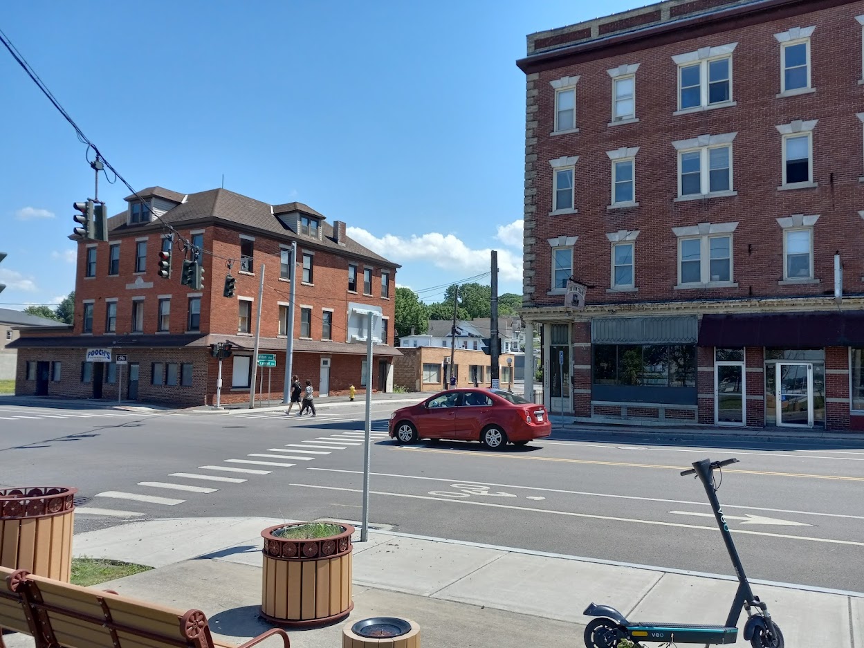
Take the western terminus at the Village of Camillus. The bus stops right in the middle of town, but the old train station is about half a mile from the village’s center. That puts too many people and destinations out of easy walking distance of the train, so the tracks need to come to them. Quality passenger service needs new tracks running down Genesee Street so the terminal station can be in the center of the village.
In Solvay, one of the main areas of activity and residential density is at the intersection of Milton and Lamont Avenues. This is a great place for a station stop, and the existing right-of-way passes within a quarter mile, but it’s impossible to walk from the tracks to this spot because there are multiple factories in the way. Routing new tracks along Milton from Bridge Street to Erie Boulevard would bring service right where it needs to be.
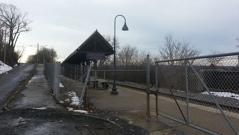
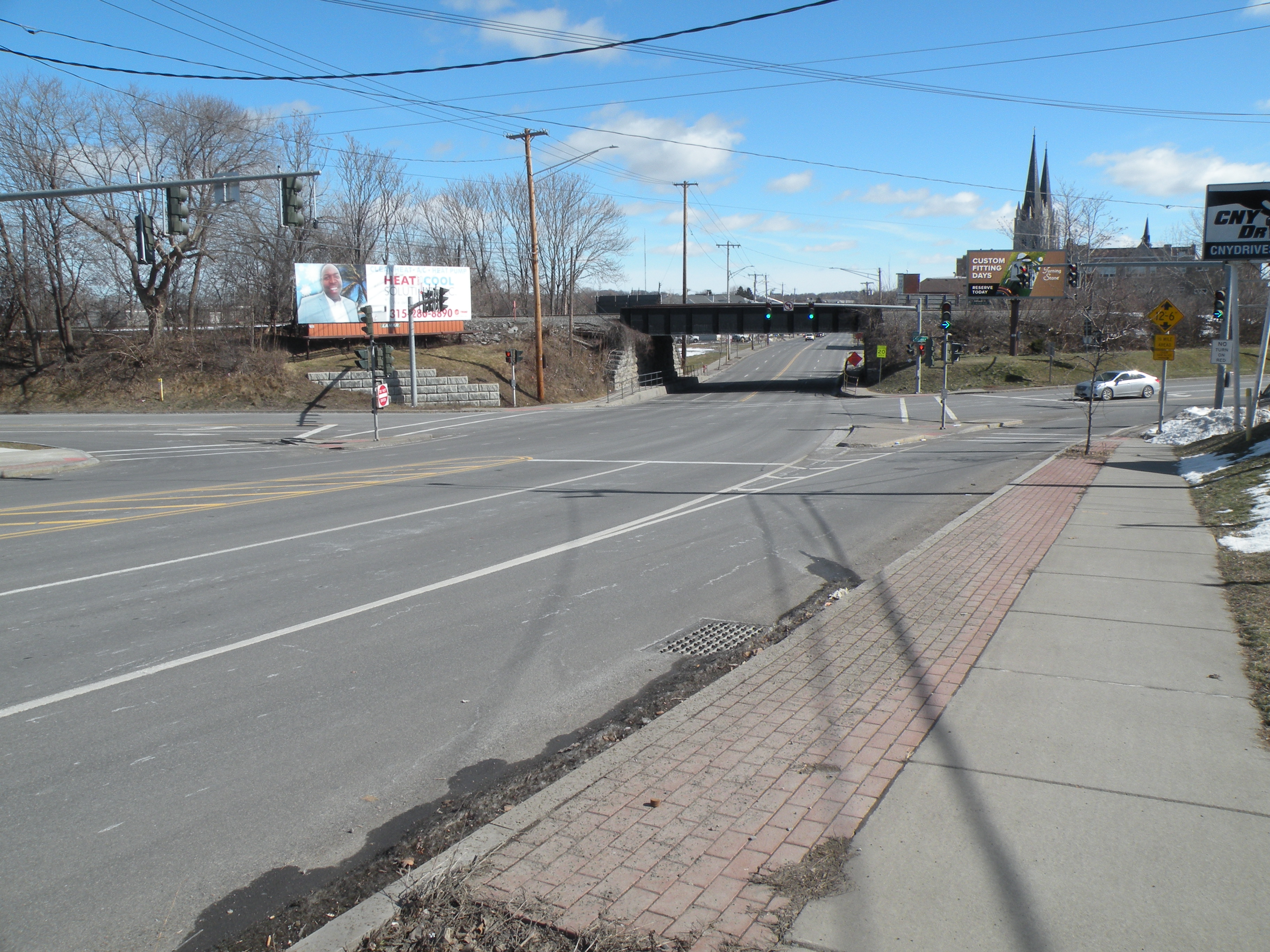
At the Syracuse end of the line, the tracks run up against University Hill, but not anywhere worth getting off. The old OnTrack station is surrounded by parking lots, and it is more than half a mile walk (uphill) to the hospitals and most of SU’s academic buildings and dorms. The tracks should run up into the hill right past the hospitals and into Syracuse University’s Campus. This would allow for additional station stops where there’s lots of demand for transit, and it would facilitate connections between the rail line and the University Hill bus network.
In order to run the service where it needs to go, the right-of-way needs to shift in a few key places.


PEDESTRIAN INFRASTRUCTURE
Even when the tracks run right where they need to, a lack of pedestrian infrastructure can make the stations practically inaccessible.
Hinsdale Road is within walking distance of lots of housing, jobs, and things to do, but there are no sidewalks along any of the nearby streets and no crosswalks at any of the major intersections. People would be putting their lives at risk just walking from the train to their final destinations. Milton Ave and Hinsdale Road need sidewalks and crosswalks if anybody is going use a train station there.
In Syracuse, the rail line runs between the populous Park Ave and Near Westside neighborhoods, but there’s no way for people to walk from both neighborhoods to a single station because there is no pedestrian connection between Erie Boulevard West and West Fayette Street. This halves the area within walking distance of any Near Westside station and limits the number of people who can catch the train. A bike/pedestrian path connecting Erie Boulevard West to West Fayette Street would allow many more people to ride the train.
The Downtown rail viaduct runs within 500 feet of Centro’s bus Hub, but to get from one to the other, you have to cross two busy streets. Passenger rail needs to connect to the entire bus network to serve as many people as well as possible, and separating the services with two crosswalks just won’t cut it—imagine getting off the bus and seeing your connecting train pull away as you wait for the light to change so you can cross the street. A covered pedestrian bridge from the rail line to the bus Hub would let people make those connections quickly and easily.

Getting all those details right will take a lot of investment, but it would create a fast, frequent, reliable rapid transit line that connects the western suburbs.
Make the same kinds of improvements on other rail lines across the county, and the change would be transformational: a fast, frequent, reliable metropolitan transit network that could shape the region’s growth equitably and sustainably.
