As the weather warms up and people start spending more time outside, it’s time to expand one of City Hall’s best pandemic-era pilot programs: Weekends on Walton.
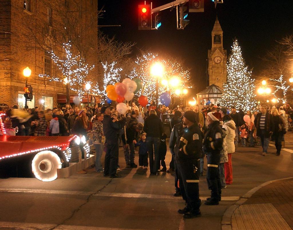
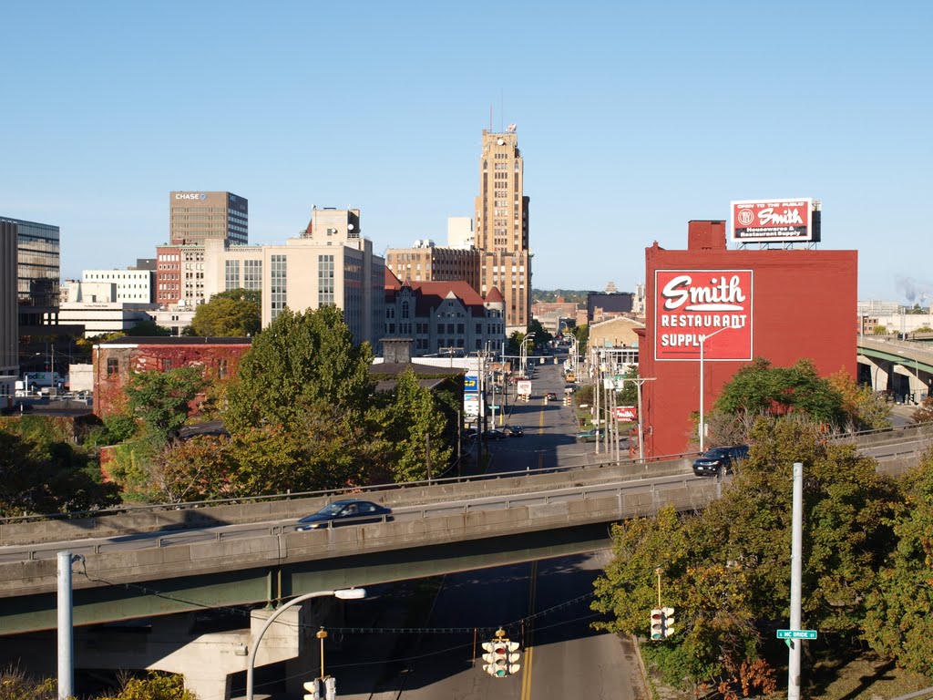
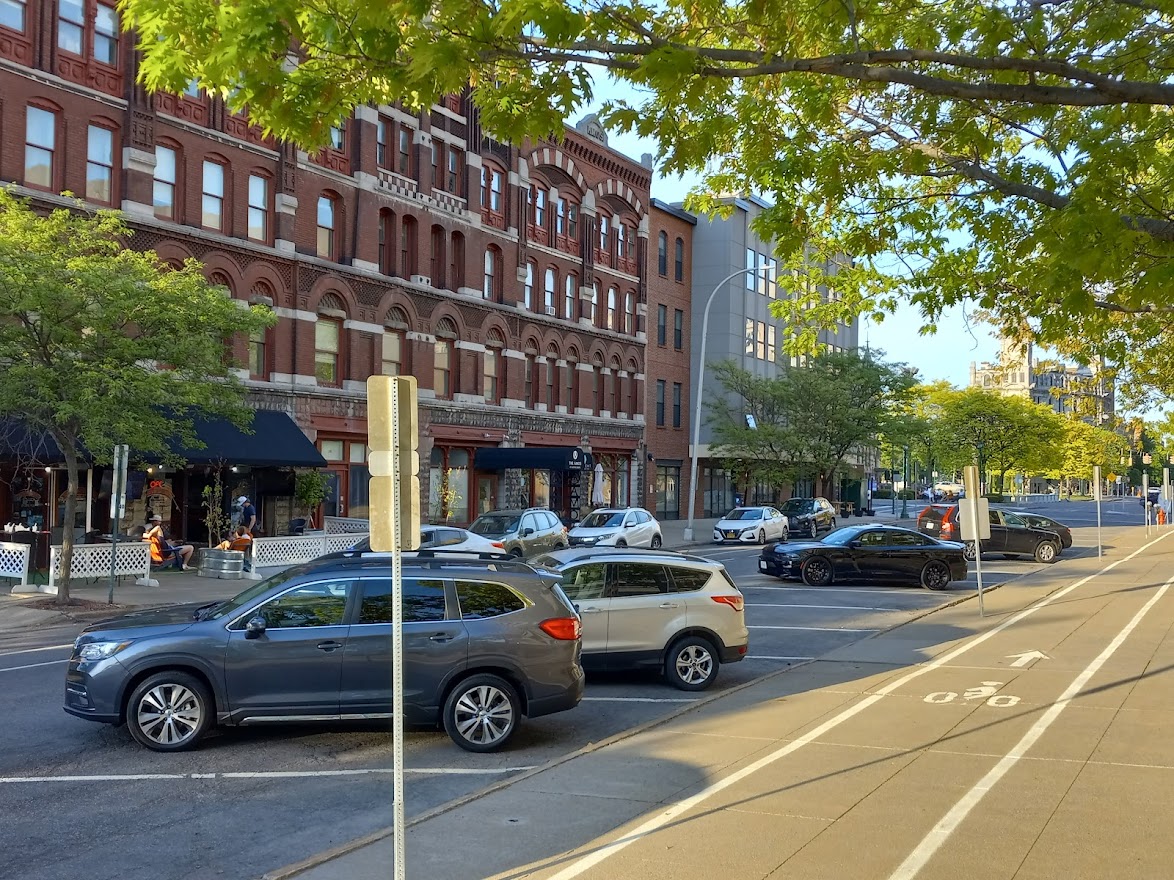
For the last two summers, Syracuse has created new outdoor public space in Armory Square by opening two blocks of Walton Street for people to walk, sit, eat, and drink. It was an idea City Hall had already been investigating, and the pandemic made it necessary—when nobody could spend time inside, restaurants needed new outdoor seating to stay afloat.
The pilot worked. Restaurants did well, people were able to gather safely outdoors, and Armory Square got a much needed breath of life. When Summer 2021 rolled around, City Hall ironed out some kinks and ran the program again.
As with any successful pilot, City Hall should now scale the program up. There are three good ways to do this.

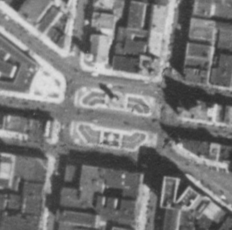
First, Weekends on Walton should become more permanent. The 2019 SMTC study that inspired the pilot program recommended physical changes to the street that would make Weekends on Walton more attractive and easier to implement. These include removable bollards at Walton’s intersections with Franklin and Clinton Streets, and making Walton a ‘curbless street’ like Genesee in Hanover Square.
These simple changes would constitute another iteration of the Weekends on Walton concept. They’d make the street—which is in a terrible state of repair and difficult to walk on—more attractive, accessible, and safer. They’d make Weekends on Walton more popular, and they’d make it easier to scale the project up again by keeping Walton open to pedestrians full-time like Genesee Street in Hanover Square.
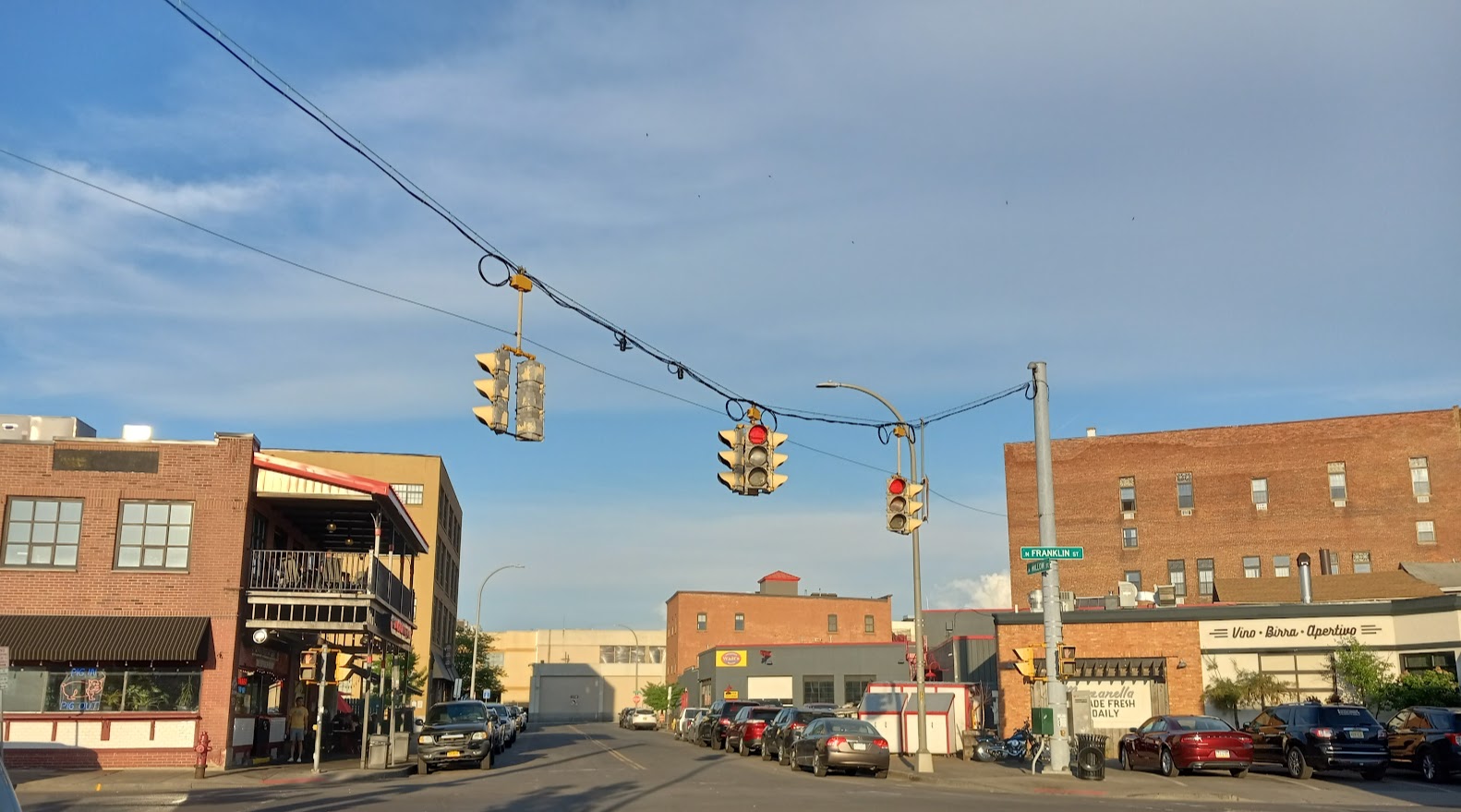

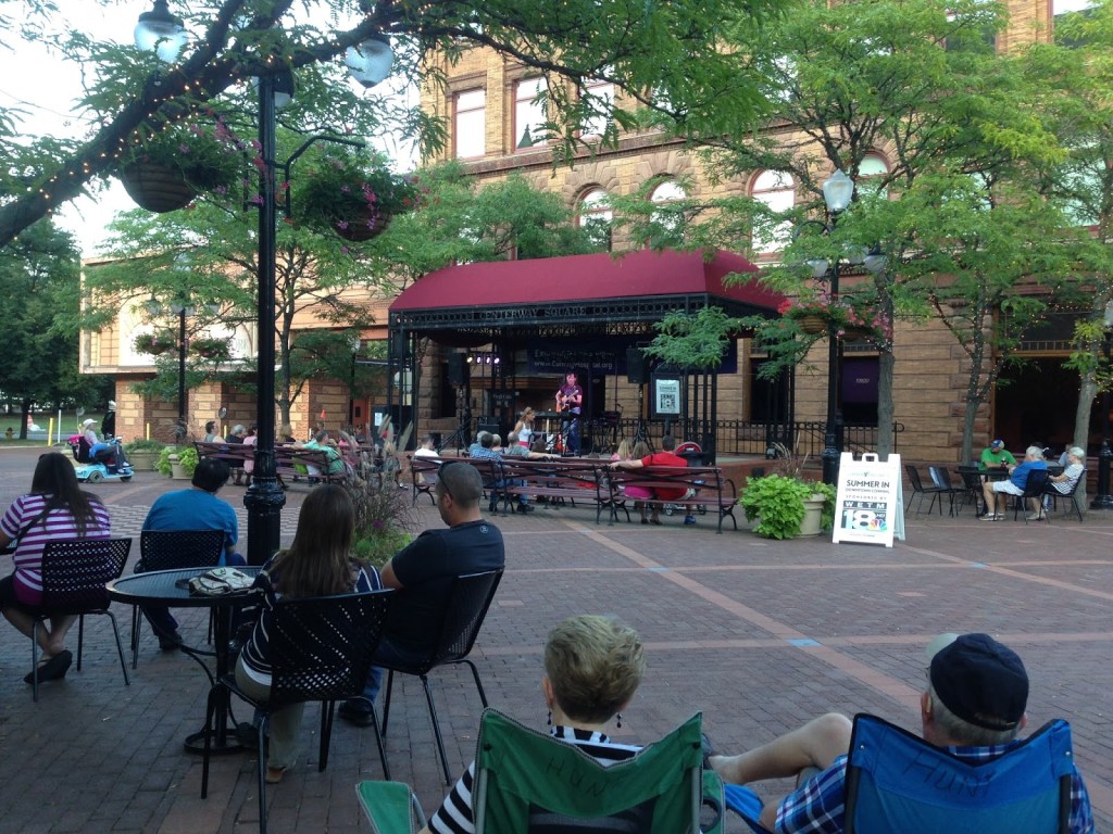
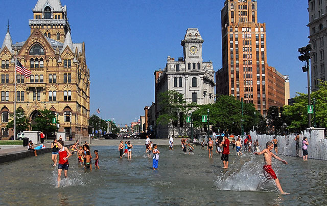
Second, City Hall should replicate the Weekends on Walton pilot in other parts of the City. There are several spots Downtown where the program could succeed. Willow Street between Dinosaur BBQ and Apizza Regionale, and Montgomery Street next to City Hall, Bank Alley are all flanked by multiple restaurants and unnecessary for cars driving around Downtown.
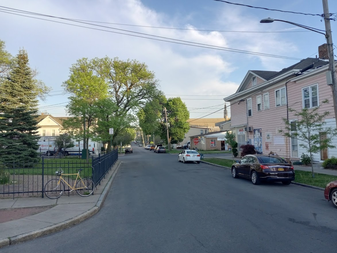
There are also several spots outside of Downtown that meet these criteria: McBride Street at Amos Park on the Northside, Dell Street in Westcott, Collingwood Avenue in Eastwood, Green Street and Hawley Avenue. Replicating the Weekends on Walton concept in spots like these would spread the project’s benefits to more neighborhoods.

Third, City Hall should expand the purpose of the project. The first iteration of Weekends on Walton was clearly designed to help some specific businesses get through the worst days of the pandemic. Those days are past now, and it’s time to ask how the broader public could benefit from giving streets back to the people.
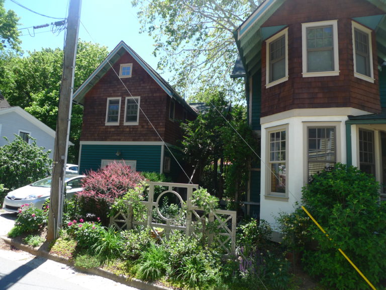
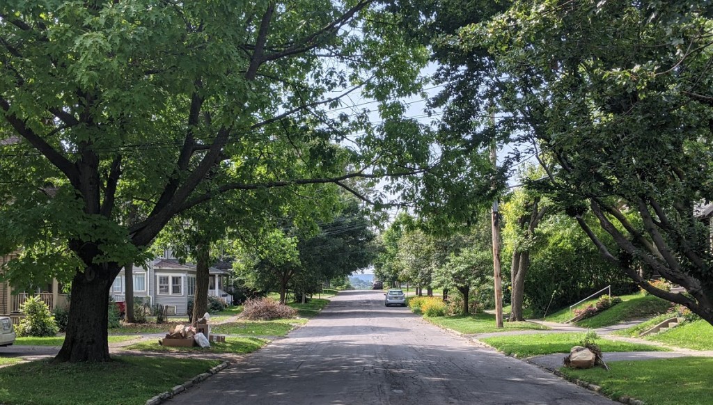
In neighborhoods across the City, people beat the heat by getting outside. Walk through most any neighborhood on a hot day, and you’ll see people on their porches, on their stoops, in their front yards, enjoying the breeze and their neighbors’ company.
This is undoubtedly a good thing, and City Hall can help it out by turning individual blocks into public space in neighborhoods across Syracuse. That’d put small public parks right outside more people’s front doors.
Weekends on Walton is a great success story for City Hall. In a time of crisis, our government worked to try something new, and it made people’s lives better. Now we should build on that success by scaling the project up—making it more permanent, bringing it more places, and expanding its purpose.