Syracuse needs better bus service that empowers all kinds of people to meet all their different daily needs. One of those daily needs is getting to work. In a recent hearing on the effectiveness of public transportation in Syracuse, Assemblymember Pam Hunter addressed that directly when she asked about how Centro could overcome the spatial mismatch—the fact that a lot of jobs are located in the suburbs, but her constituents in the City can’t get to them.
That’s usually how people talk about the spatial mismatch: Jobs are in the suburbs and people who need jobs are in the City, so the solution is to get those people transportation to the suburbs. But running more buses out to the suburbs is no solution because that will just take buses away from existing routes in the City—routes that serve more people more efficiently than a line in the suburbs could.
A better solution is to eliminate the spatial mismatch by encouraging employers to locate where people already live and where the buses already run.
Consider this exchange between Kevin Schwab of CenterState CEO and Senator Rachel May. Schwab told a story about how a business located on Taft Road is difficult to reach by bus and how one of its bus-riding employees has to walk two miles from the bus stop to get to work. Schwab used this anecdote as evidence that Centro should run a bus line along Taft Road. Senator May agreed that it’s difficult for bus riders to get to work in the suburbs, but she also suggested that this company, if it wanted to be able to hire people who don’t own a car, should have set up shop closer to a bus stop. Schwab responded that employers have a hard time finding suitable sites near existing bus lines.
Suitable means cheap. Centro’s best service is in the County’s urbanized center, but the land in the center costs more money, is divvied up into smaller parcels, and is more often polluted than land on the County’s edges.
For a lot of employers, these costs are just too high a price to pay for the benefit of being able to hire bus riders. 70 years of subsidies for private cars and disinvestment in public transportation has marginalized bus riders to the point that they’re too small a portion of the labor market to sway employers’ behavior. Car drivers, on the other hand, have no problem getting employers to take on the enormous costs required to provide free parking.
It’s a question of power. Car drivers have more power over where employers choose to locate than do bus riders. The result is the systematic exclusion of bus riders from employment opportunity. In this City, that’s systematic racial and economic exclusion, it causes poverty and segregation, it hurts the entire region’s economy, and it needs to end.
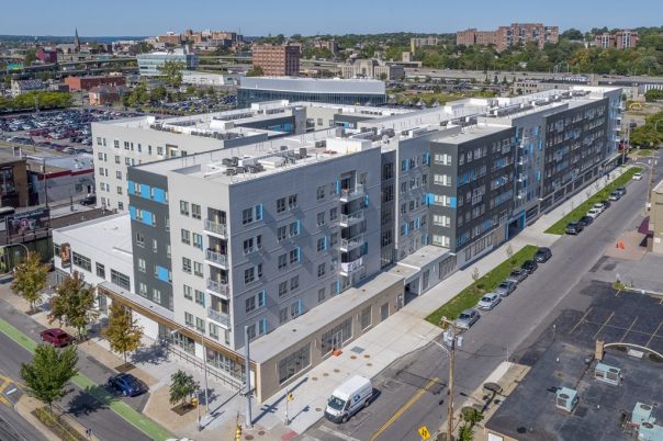
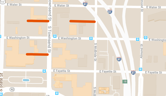
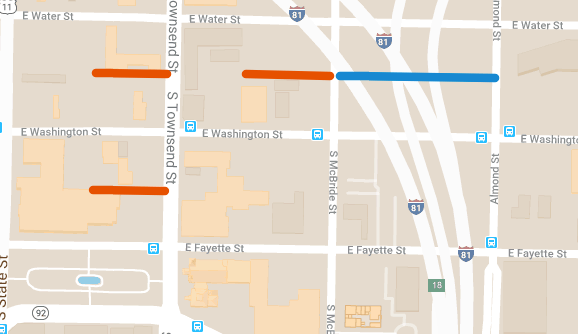
In the short term, City Hall and Onondaga County can do their part by supplementing bus riders’ power with incentives for employers to locate on bus lines and/or within walking distance of economically disadvantaged neighborhoods. There is plenty of empty land on the Lakefront, at the Inner Harbor, Downtown and along Erie Boulevard where Centro runs good service (and plans to run even better service), and many of these sites are already under SIDA or OCIDA control. Steering economic development to these sites should be a part of County Executive Ryan McMahon’s PIE agenda (poverty, infrastructure, economic development).


In the long term, bus riders will need structural changes to the region’s transportation system in order to gain power in the labor market. Centro needs new investment to provide all-day frequent service that covers enough of the City that many different people can meet all their daily needs. That will make life without a car more feasible for more people, grow Centro’s ridership, empower bus riders in the labor market, and force employers to respond to that newly empowered constituency’s needs. That means building out the two BRT lines that SMTC planned in its SMART1 study, and it means expanding on that study to develop the full BRT network described in the STSA.
There are too many people in Syracuse who can’t get work because the jobs that are available are out in the suburbs and out of reach for people who ride the bus. This travesty is called the Spatial Mismatch, and it’s a problem of power—bus riders don’t have the power to force employers to respond to their needs by locating in places accessible by bus. The solution is to build bus riders’ power. In the short term, this means using economic development to incentivize development on existing bus lines. In the long term, this means investing in Centro so that more people ride the bus as part of their daily lives, increasing bus riders power over employers’ decisions about where to locate.