By Zach Zeliff
Syracuse is in a housing crisis. Monthly rents and home sale prices are shooting up faster than we’ve seen in a generation. Our aging housing is falling down and poisoning the people who live in it. Homelessness is on the rise, and 1 in 8 kids in the Syracuse school district will face homelessness at some point this year. Too many people live in dilapidated housing, too many people can’t afford their rent, and too many people have slipped into homelessness. In short, there’s a fire, and population growth from Micron and other macro-demographic patterns are poised to pour on more gasoline.
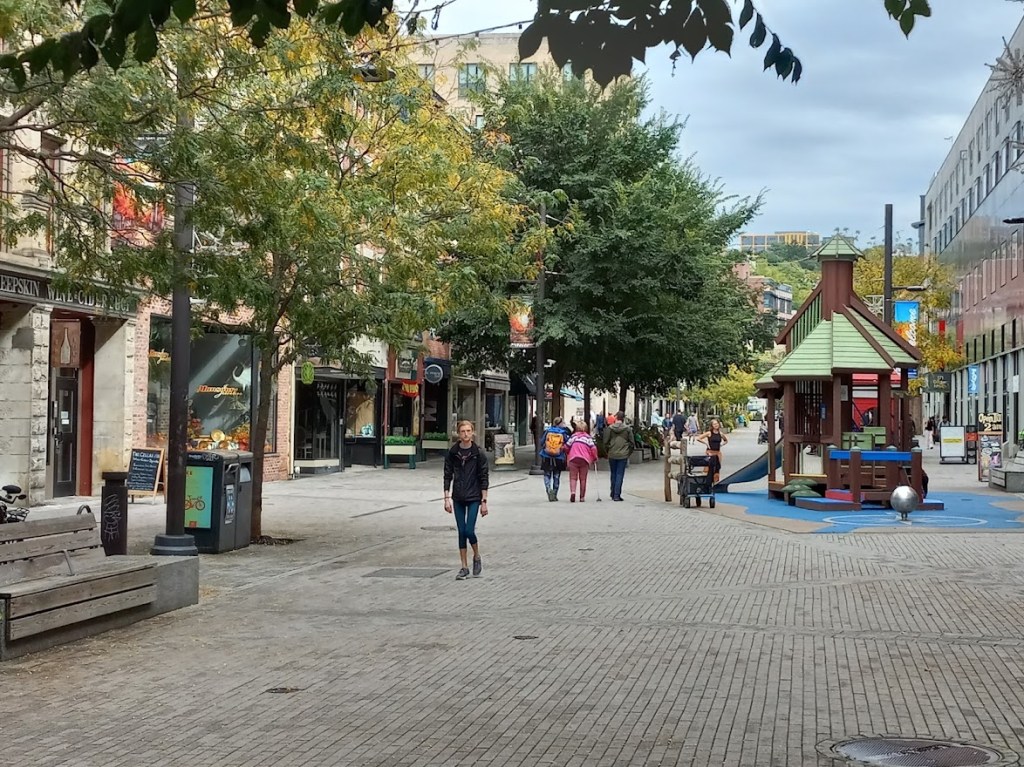
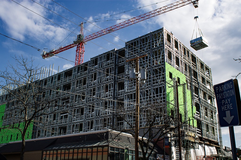
There are many ways to fight that fire, but all of them require more new housing. That’s new housing supply of all kinds—market rate and affordable, and everything from high-rise apartments to small accessory dwelling units.
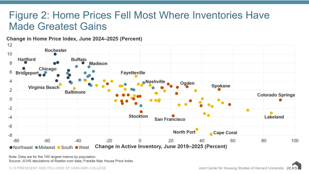
The data makes it clear that not building new housing pushes up prices. This chart (from a report by Harvard’s Joint Center for Housing Studies) shows housing price changes versus housing supply growth. Cities that built the most new housing also the most had the least housing cost growth. Conversely, you can see in the other corner of the chart Buffalo and Rochester (very similar cities to us, and facing similar trends) have low inventory and high cost growth.
Want to do some further reading? Here is a paper that summarizes a whole bunch of research on the topic. Here’s a less academic take from a labor perspective. And here is something very pithy – a statement from the CEO of Avalon Bay, an extremely large landlord, saying their company is well positioned to push rent costs because they operate in markets where it’s hard to bring new supply online.
“Supply dynamics favor owners. Grout-up states have slowed nationwide, and New York’s pipeline has contracted more than any other major U.S. market. That means fewer completions through 2026 and 2027—less new competition, a firmer rent floor, and a more predictable revenue base for multifamily assets.”
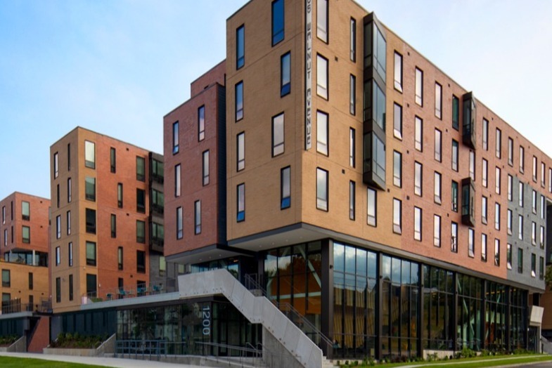
There’s also good evidence that building more housing constrains housing costs. New Rochelle has recently been recognized for its housing growth. Accordingly, rents have only risen 1.6% since 2020—a time when rents in the rest of the NYC metro area and NYS have exploded. The city adopted a suite of policies—including land use, permitting, and financing/tax incentives—designed to boost housing production, and these are the results. Jersey City has long been known as a housing production focused city, and they’ve managed to contain costs for existing residents even in the wildly competitive NYC rental market.
An interlude here about Good Cause – given the recent discussion in town. New Jersey has had good cause since 1974, and yet has still built a significant amount more housing than New York over that period. New Rochelle experienced their building boom while opting into good cause in 2025. There is no data to suggest good cause inhibits housing production. Good cause and new supply are two good tastes that taste great together.
Syracuse needs to embrace a policy paradigm designed to get new units built, and quick. Over the next few weeks, we will flesh out the details of specific zoning reforms that could actually move the needle on Syracuse’s housing crisis. ReZone made some good first steps in 2023, but we need to go farther. We’ll get into the weeds of discretionary review processes, density restrictions, and use types.
But before all of that, let’s just agree on a basic premise. Syracuse needs new housing. We need it to fight segregation, we need it to meet modern needs, and we need it to make housing affordable. Zoning can do a lot of different things, and it has been deployed to achieve all kinds of—mostly exclusionary and mostly discriminatory—different ends over the last 104 years in this town, but none of them are as important as building new housing. Not promoting economic development, not preserving neighborhood character, not ‘protecting’ single-family neighborhoods. None of those things matters as much as solve Syracuse’s housing crisis, and that means building more new housing.