NYSDOT’s idea for a “canal-themed district”—a combination of fountains, public art, and parklets centered around the spot where Oswego and Erie Canals used to intersect—is a good one. It would create a new public space in the center of town, and it would restore the canal’s place in people’s lived experience of the City. However, the DEIS’ designs for this space would scatter it around the edges of a high-traffic highway where very few people will ever want to be.
The City of Corning’s experience with a similar project shows how Syracuse could take advantage of new traffic patterns by extending the Canal District west to cover Erie Boulevard between Clinton and Montgomery Streets and create a public space where people will want to be.
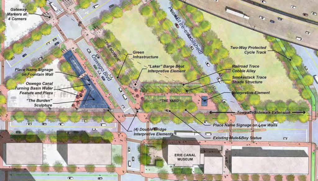
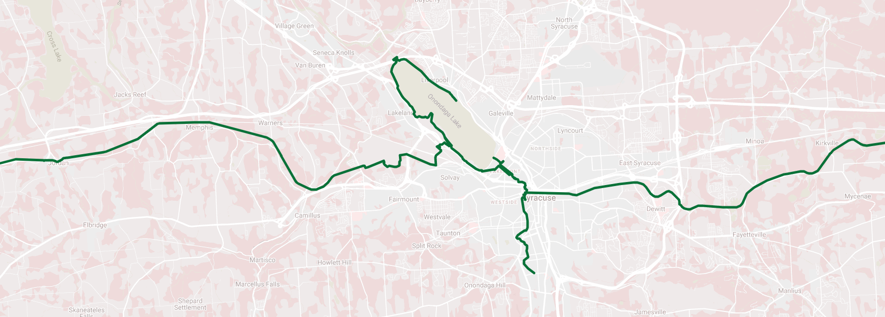
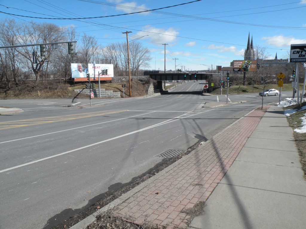
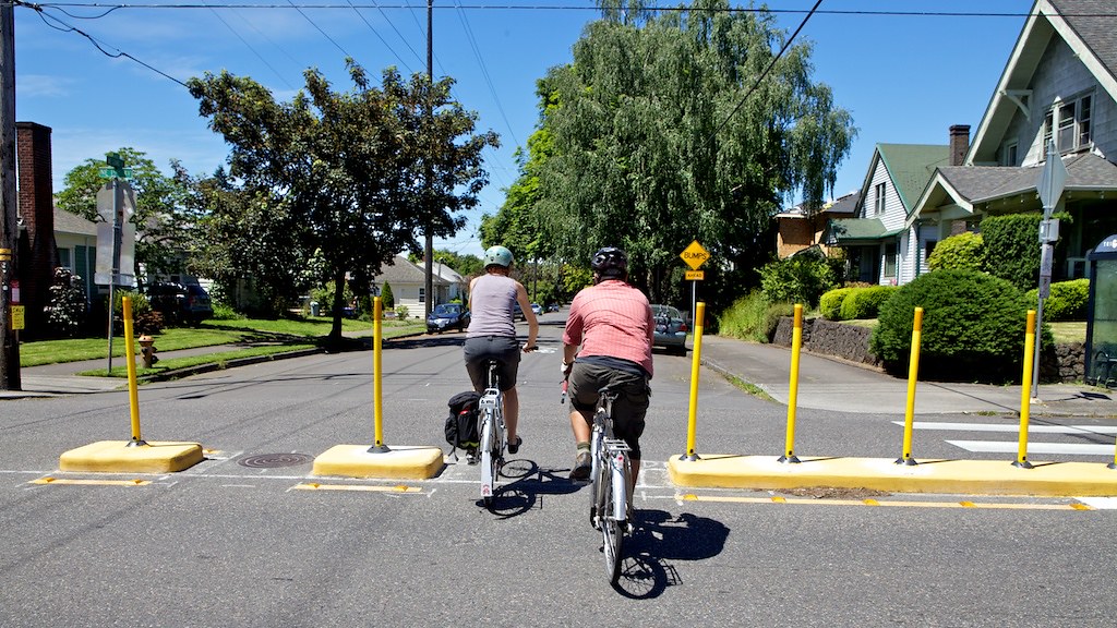
The main problem with the current design for the Canal District is its location. The DEIS shows a new fountain, sculptures, benches, and park space lining Pearl Street and Oswego Boulevard near their intersections with Erie Boulevard. These streets are going to be de facto off- and on-ramps—like Harrison and Adams today—and they are going to carry a lot of car traffic, and 690 will still be running by just a block away. These intersections are going to be noisy and difficult to navigate on foot, and that won’t make for a pleasant place to hang out and look at a fountain.
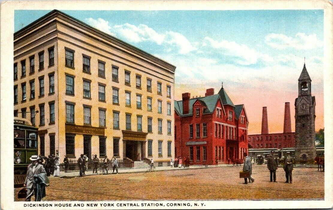
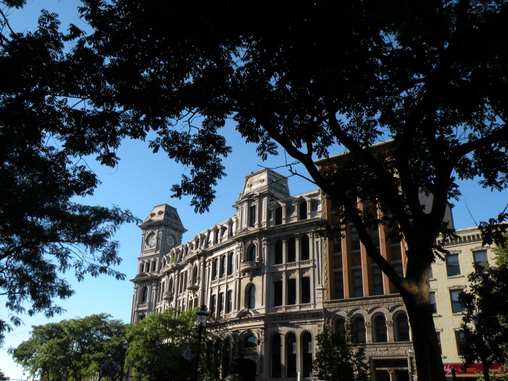
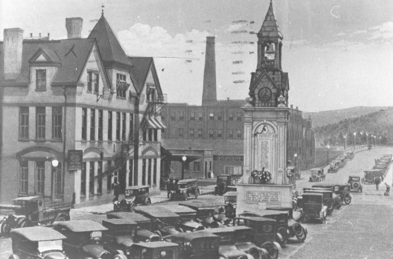
Corning’s Centerway Square shows a better way to reclaim public space made available by changes in transportation infrastructure. In the late 19th century, the square was a civic gateway—it was the site of the New York Central Station, and it was many travelers’ first impression of the city. Corning built a monumental clock tower in the square, and capitalists surrounded it with the city’s most impressive commercial buildings.
In 1921 when it became clear that the city needed a new bridge to handle all of the new traffic travelling across the Chemung River, Corning built the Centerway Bridge to bring car traffic through the square for the first time. Within a short time, the city’s main civic square got turned into a parking lot.
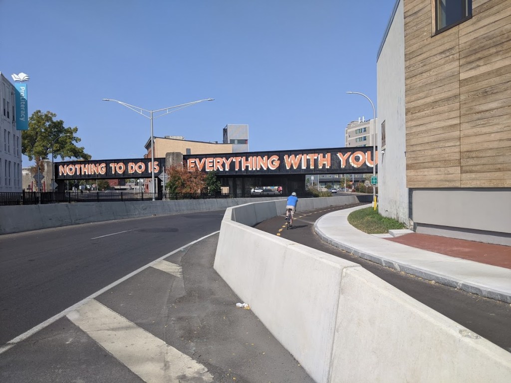
By 1981, though, all that car traffic had overwhelmed the Centerway Bridge, and Corning needed yet another crossing over the Chemung River. The new Bisco Bridge could handle far more car traffic, and it was designed to avoid the busy public square with the confusing clock tower in the middle of its intersection. Car traffic left the Centerway Bridge, and Centerway Square was once again a primarily pedestrian space.
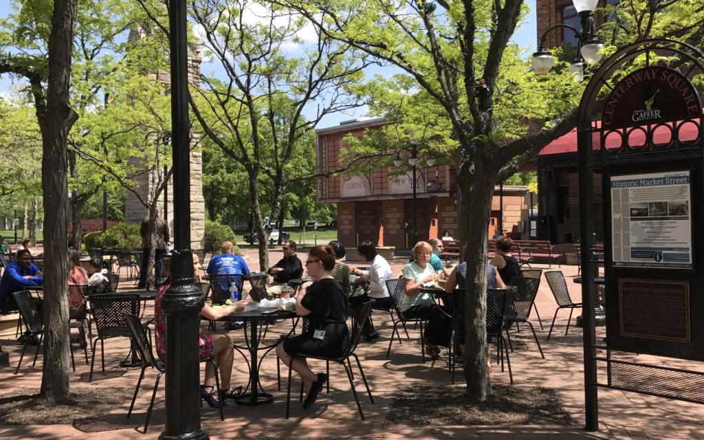
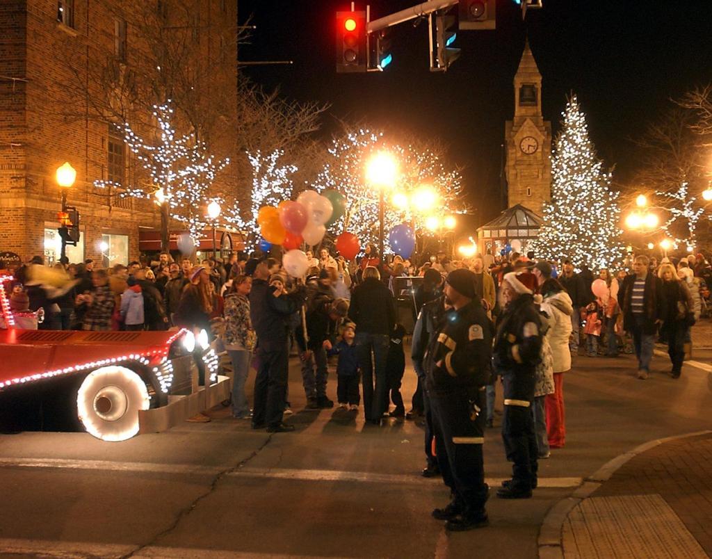
Today, the Centerway Bridge is an award-winning example of adaptive reuse, and the fully pedestrianized Centerway Square has regained its function as a public space. It’s the gateway to the Market Street Historic District for people walking from the Museum of Glass. It’s a place for rallies and public performances. It’s a place where people can just sit and enjoy the city.
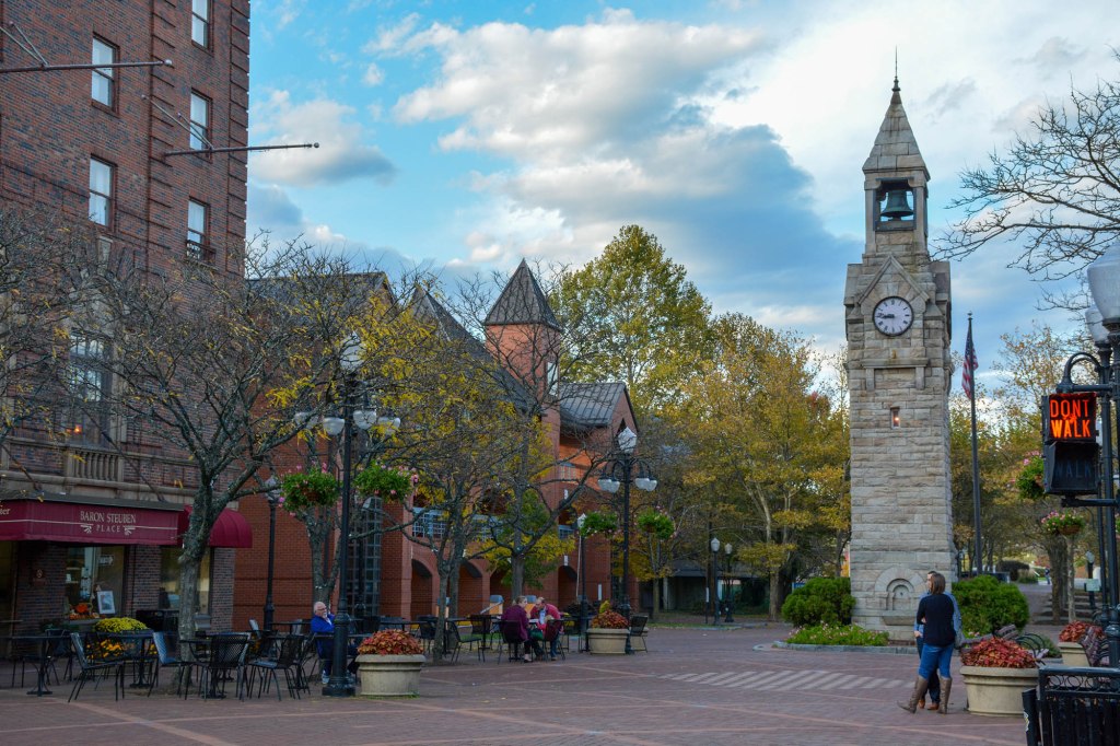
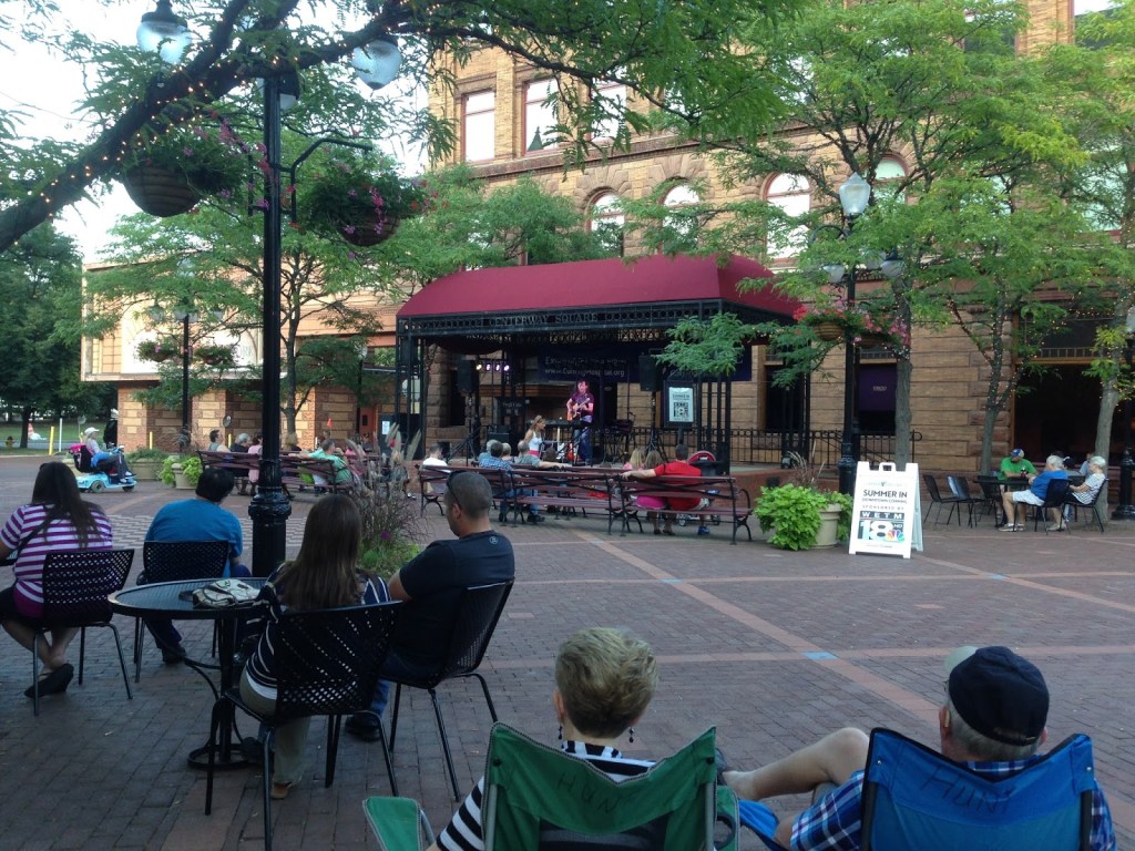

The key to Centerway’s success is that new transportation infrastructure diverted car traffic away from the square and made space for people instead. When NYSDOT built the Bisco Bridge to accommodate lots of car traffic, they didn’t try to make its entrance to downtown Corning into a new public place—they revived the already existing space that the new bridge freed from car traffic.
The lesson for Syracuse and the Canal District is clear: don’t try to make BL-81’s new off- and on-ramps into pleasant public spaces—that’s impossible. Instead, look at where that new infrastructure will remove cars, and make those places into good public spaces.

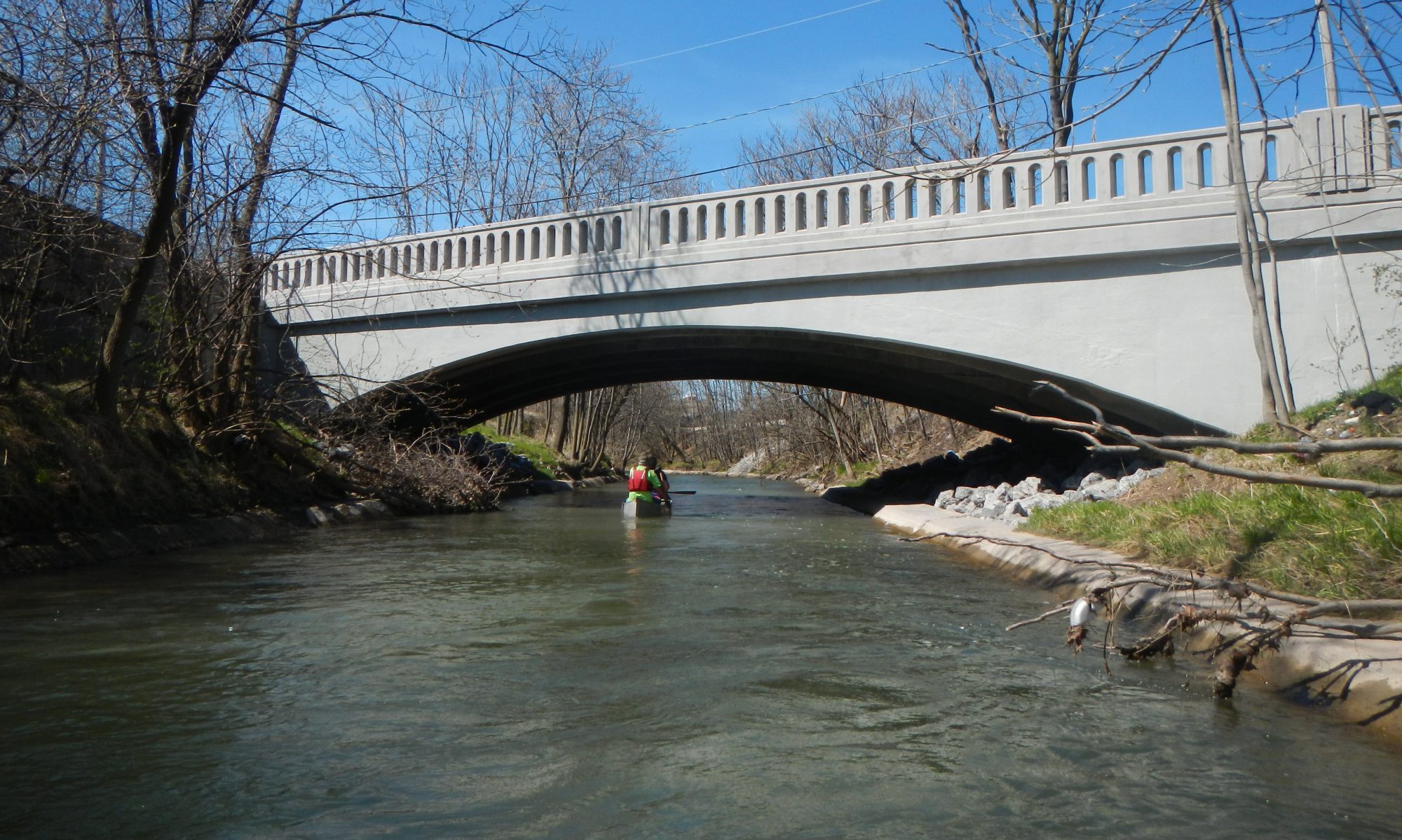
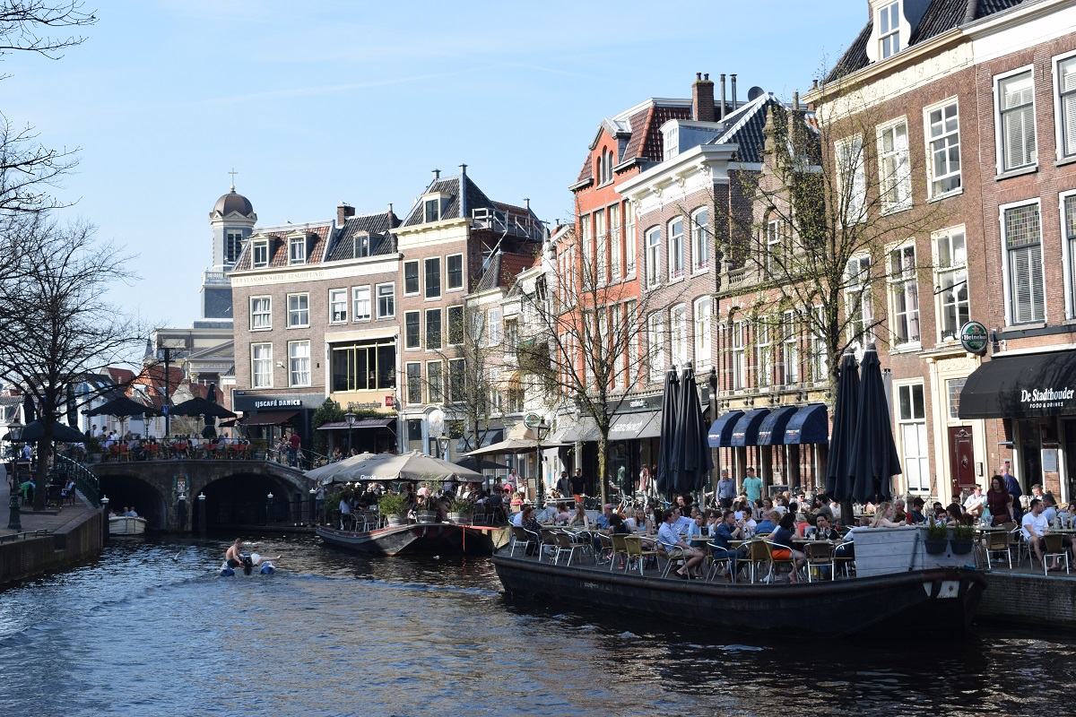
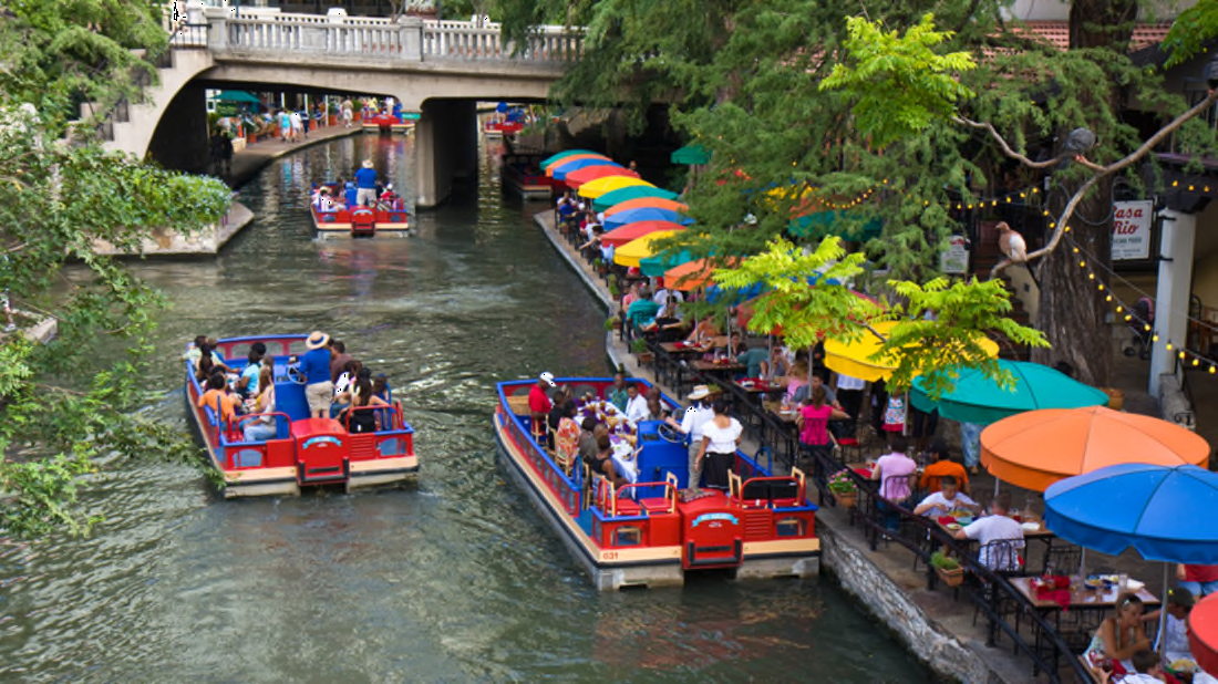
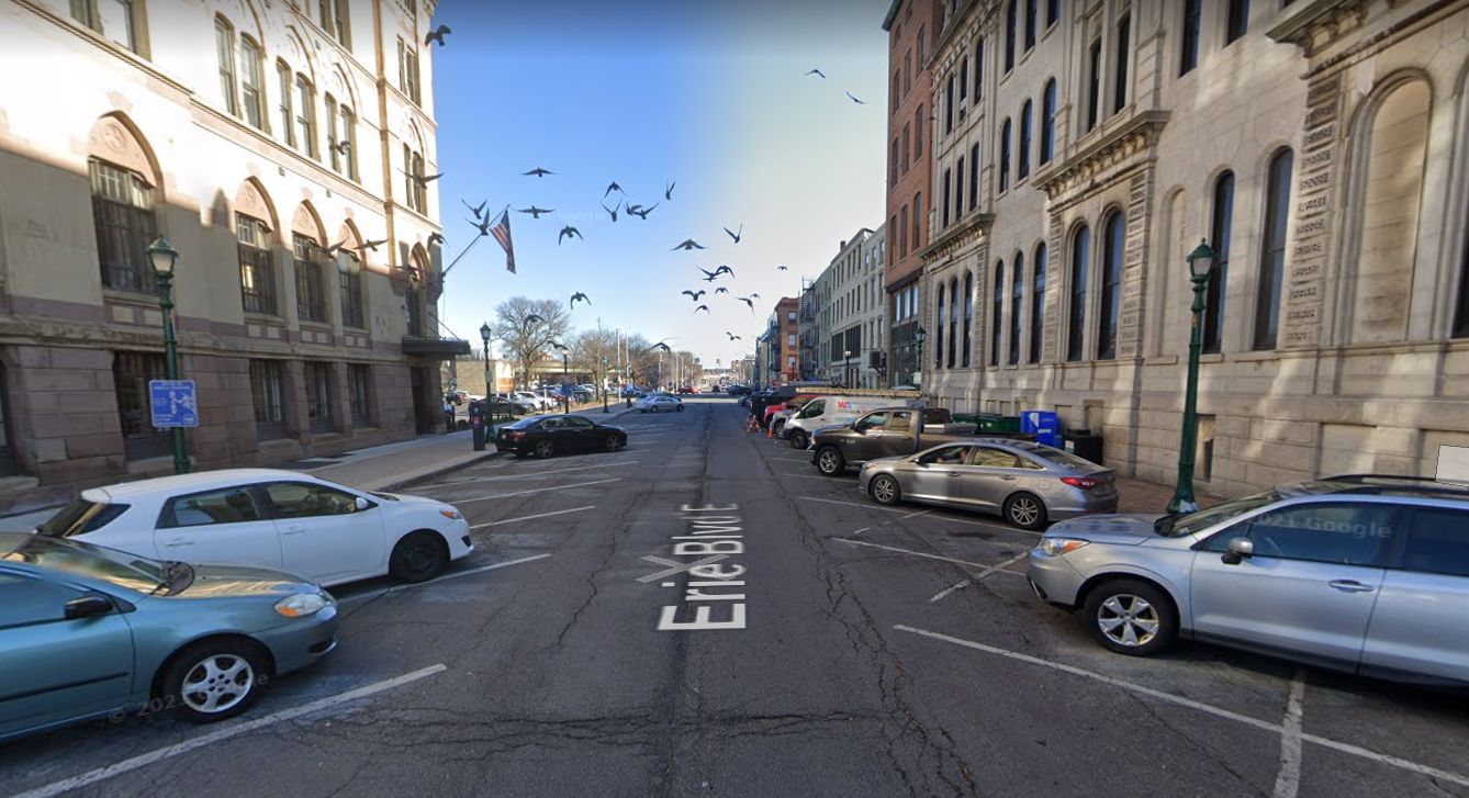
Start thinking that way, and it’s pretty obvious where the Canal District can work best: Erie Boulevard between Clinton and Montgomery Streets. That’s the canal’s original path through the middle of town, and it would be a great place to replicate something like Buffalo’s Canalside or Providence’s Waterfire by rewatering the canal from Clinton Square all the way to the new fountain being planned as part of the Canal District. It’s also a space that will see a lot less car traffic after the Community Grid removes the I-81 offramp from Salina Street, the onramps from State Street, and after the Pearl Street extension provides a new route for getting to the onramp at Belden.
Syracuse should seize this opportunity to create a new public space that will celebrate the City’s history and give people a new way to enjoy Downtown. Here’s how:
Bring the canal back to Erie Boulevard by running fountains down the center of the street. The fountains should connect to the “turning basin” water feature that NYSDOT has planned for the intersection of Erie and Oswego Boulevards. The surface of the water should be below street level to capture the feeling of the canal, and the street surface should be textured to slow what little car traffic does still use the street.
Convert Warren Street to two-way traffic and make it narrower north of Erie Boulevard. Give Salina a road diet so that there is only one lane of traffic travelling in either direction. Put in raised intersections where these two streets cross Erie, and install metal fences reminiscent of period-correct truss bridges to prevent cars from turning into the fountains.
Of course, line both blocks with street trees.
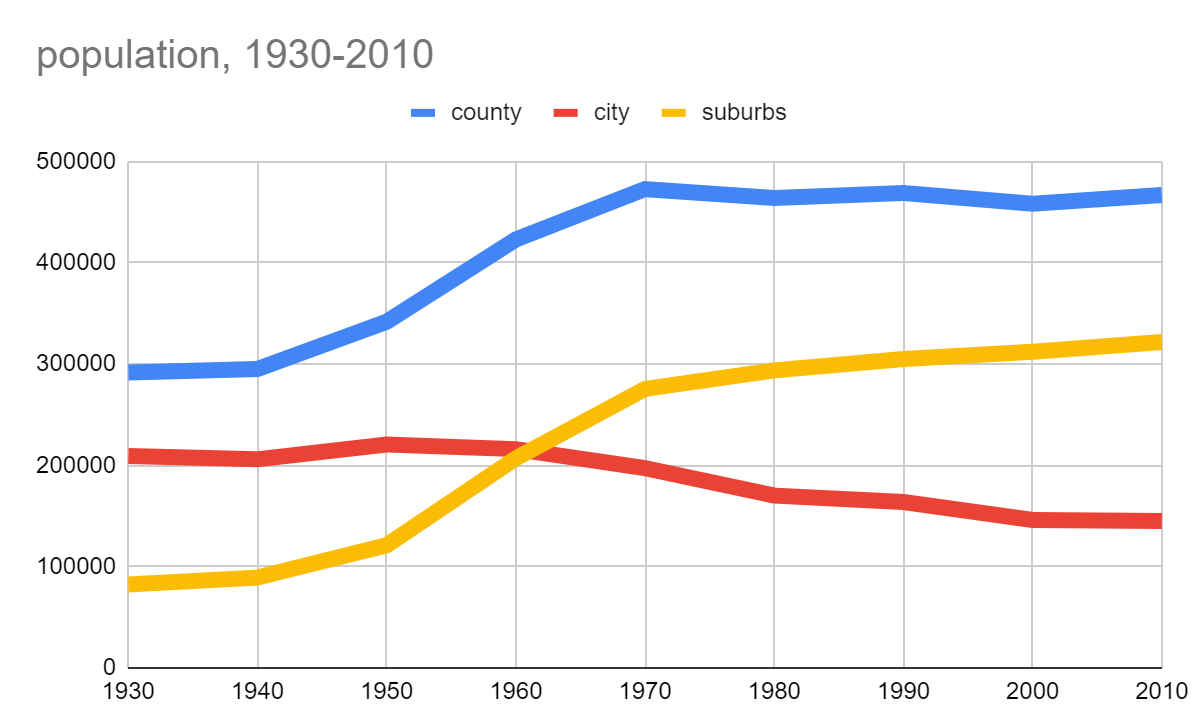
today 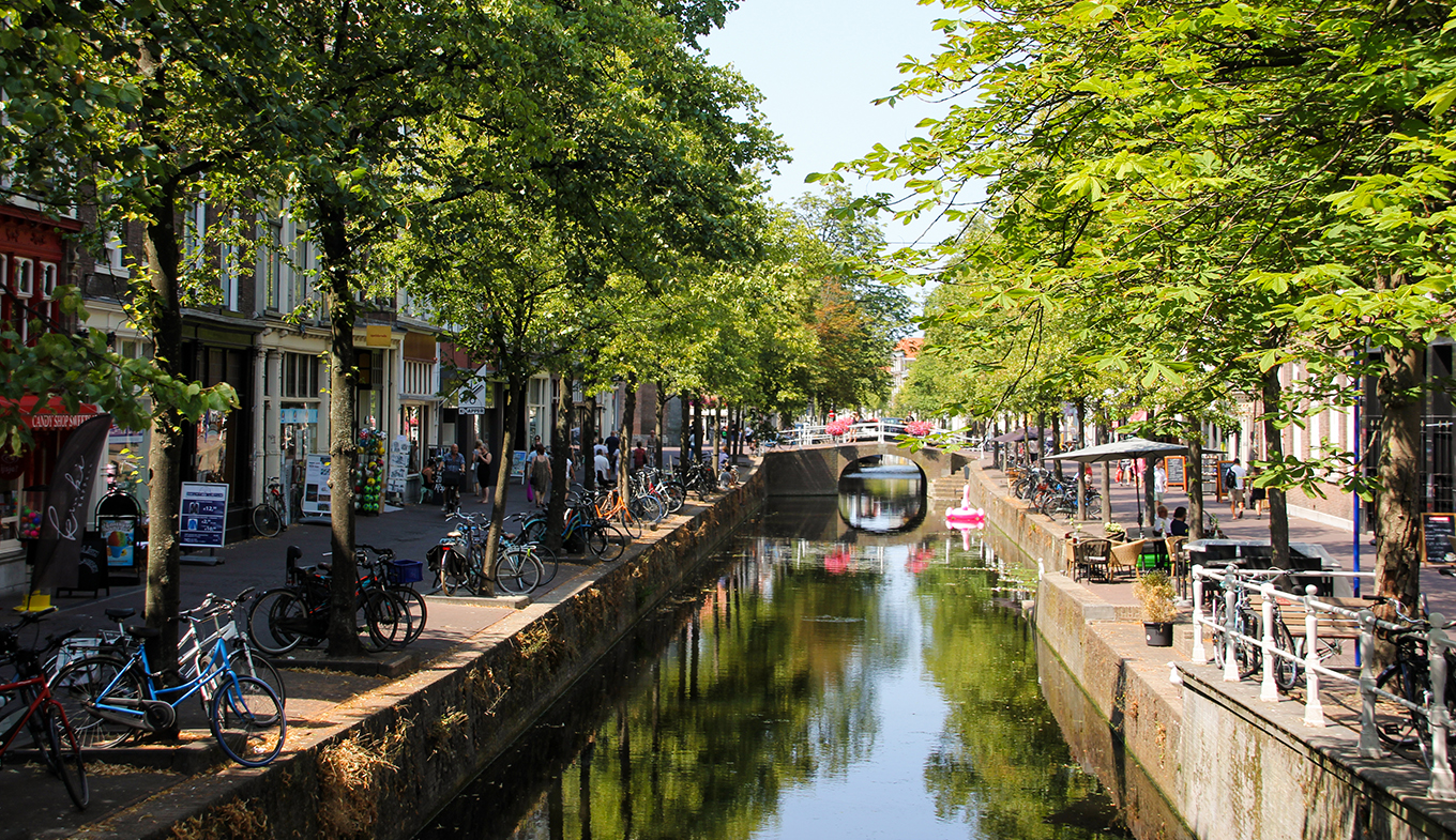
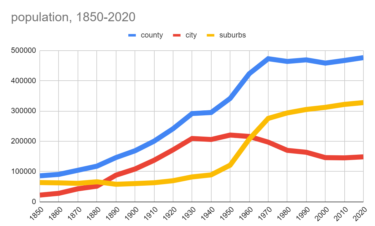
tomorrow
NYSDOT’s plan to create a new canal-themed public space downtown is good, but their plan to center it on a busy highway offramp is bad. NYSDOT should extend the Canal District concept to rewater the canal along Erie Boulevard between Clinton and Montgomery Streets. Instead of trying to create a new public space in a place where it’s doomed to fail, this would center the Canal District where it has the best chance to succeed. This area is directly adjacent to two of Downtown’s most successful pedestrian spaces—Clinton Square and Hanover Square. There is clearly already the demand for this kind of public space in this part of the City, and when the Community Grid removes highway-bound traffic from these streets, people will flock to well-designed pedestrian places.