The administration’s plan for an employee parking shuttle shows that City Hall needs to provide people with better options for getting to work.
In last week’s common council meeting, the administration described an increasingly untenable situation where there simply aren’t enough parking spaces for every municipal employee to be able to store their car right next to City Hall. Prime spaces are distributed according to status rather than need, and employees with disabilities are forced to make a dangerous walk over icy unmaintained sidewalks during the winter. The administration’s solution is to pay $100,000 for a jitney service that will save some employees from that six-block walk between their parking garage and their offices.
This is a failure of management, and it’s no surprise municpal employees want it fixed. Specifically, it’s a failure to recognize the constraints and strengths of City Hall’s Downtown location. It’s impossible to provide the suburban ideal of a convenient parking space for every single employee in a high-value, space-constrained location like Downtown. But it’s also possible to leverage Downtown’s truly multi-modal transportation network to make that suburban ideal irrelevant. Syracuse can’t offer what only the suburbs have, but—to quote the Mayor—the “suburbs don’t have what Downtown Syracuse offers.”
Luckily, City Hall isn’t the only employer to face this exact problem, and others in Syracuse and across America have developed a set of strategies to address it. Here are a few simple solutions that City Hall could easily implement to take advantage of Downtown’s natural strengths and fix its employees’ transportation problems.
Provide parking and a shuttle on cheaper land outside the CIty’s center
Parking at the Washington Street garage is expensive because it’s in a prime location within easy walking distance of much of Downtown. You’re paying for convenience, but if municipal employees don’t actually find it convenient and require a jitney to get from the garage to their offices, then City Hall shouldn’t pay the premium price for that walkability.
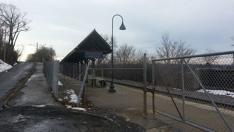
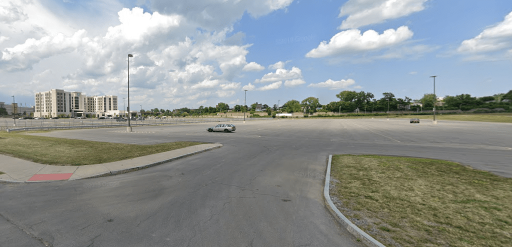
Instead, run that jitney to some other site where people can park for cheaper. That’s what the other large Syracuse employers who provide a shuttle service from their employee parking do. St Joe’s uses the Mall’s overflow lots, Upstate uses vacant land next to 690, SU uses a gravel lot next to an abandoned quarry. Parking takes a lot of space, and it’s best to provide it where space is cheap. This new jitney service is a good opportunity to do that.

Fare Free Transit
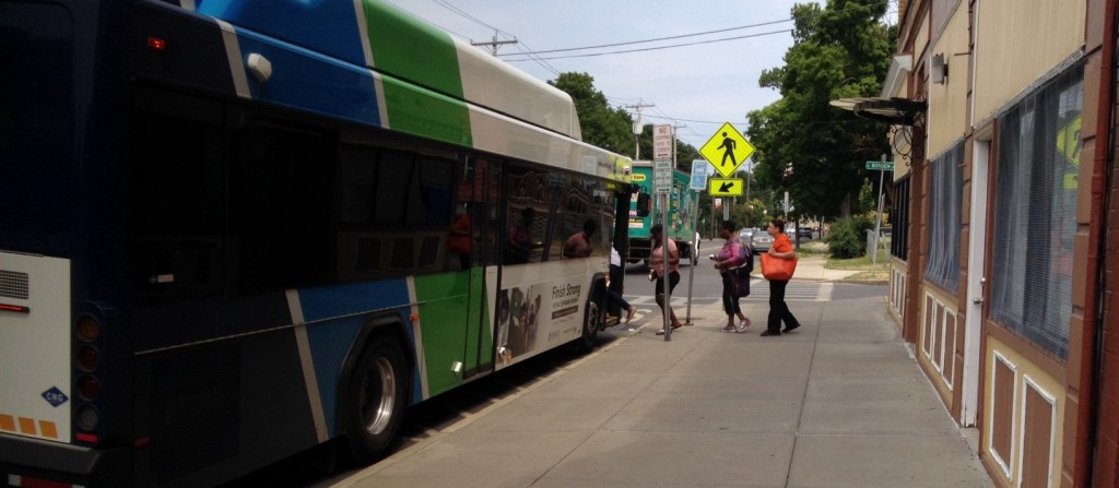
Nobody who commutes by bus needs a parking space, and the bus can bring people closer to City Hall’s front door than any municipal parking lot.
That’s why it is stupendously common for employers in other cities to buy transit passes for their employees. It saves employers money on parking and it’s a great perk that allows employees to move around the city even when they’re not going to and from work.
Centro’s MAX passes retail at $624 annually (cheaper than a Downtown parking space), and City Hall might be able to negotiate that number down for a bulk order. They could work out a deal similar to SU’s where employees flash their ID as they board and City Hall settles the bill with Centro later.
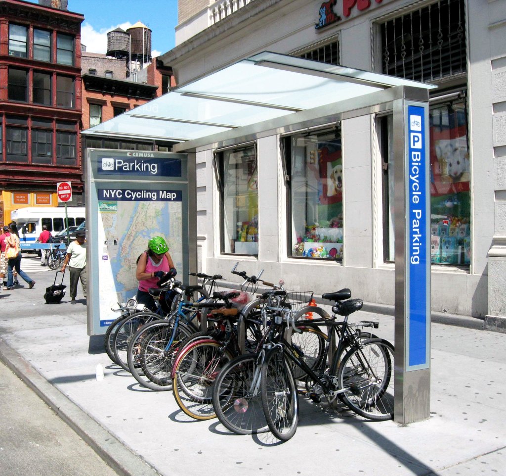
Bike Parking
City Hall provides essentially no bike parking. The one sorry bike rack out front of the building is a schoolyard style that’s difficult to lock to and easy to steal from. Better bike racks or secure bike storage inside the building would give employees peace of mind to ride their own bikes to work.
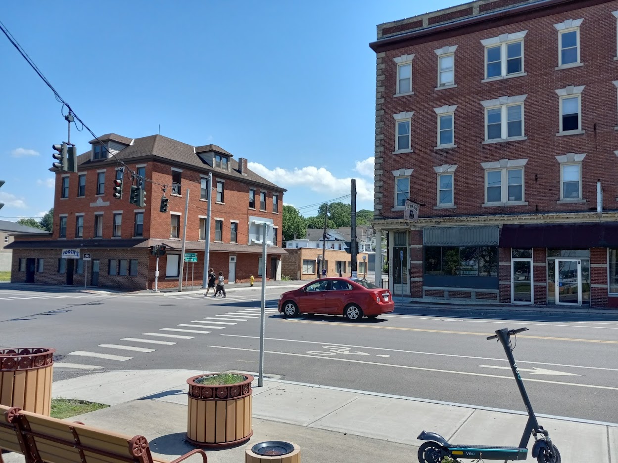
Of course, it’s possible to bike to work in Syracuse without owning a bike at all. Veo’s bike share is a convenient service that allows people to bike—or scoot—around town without having to worry about maintaining a bike or keeping it safe from thieves. City Hall could easily cover Veo’s modest user fees for employees who want to use the service to commute.
No matter whether employees ride their own bike or a shared bike to work, there are going to be days where they might need to change clothes and take a shower upon arrival. Shower facilities for bike commuters are becoming more and more common in large workplaces, and although they’re often thought of as an employee amenity, in fact they save employers money by lessening the demand for expensive employee parking spaces.
Parking Cash Out
All of this will save City Hall money, and it’s only fair that those savings be shared with the employees who help create them. City Hall should get a real handle on how much it spends on parking per employee (if this jitney service gets up and running, it’s about $2000 annually at the Washington Street garage), and offer that sum as a bonus to people who voluntarily give up any claim to a municipal parking spot.
Not only is this fair, it also gives individuals the most flexibility to choose how to get to work. The bus doesn’t run by your house and it’s too far to bike? No problem. You can carpool with a co-worker or get a ride from a friend and still take advantage of the parking cash out and free up space for people who need it more.

All of these different strategies have the same effect: a decrease in the number of cars that need to be stored in immediate proximity to City Hall. That will save a lot of municipal money, it will free Downtown land for better use, and it will also make parking easier and fairer for municipal employees who need to drive to work because people who choose other modes will free up prime spaces right next to City Hall.